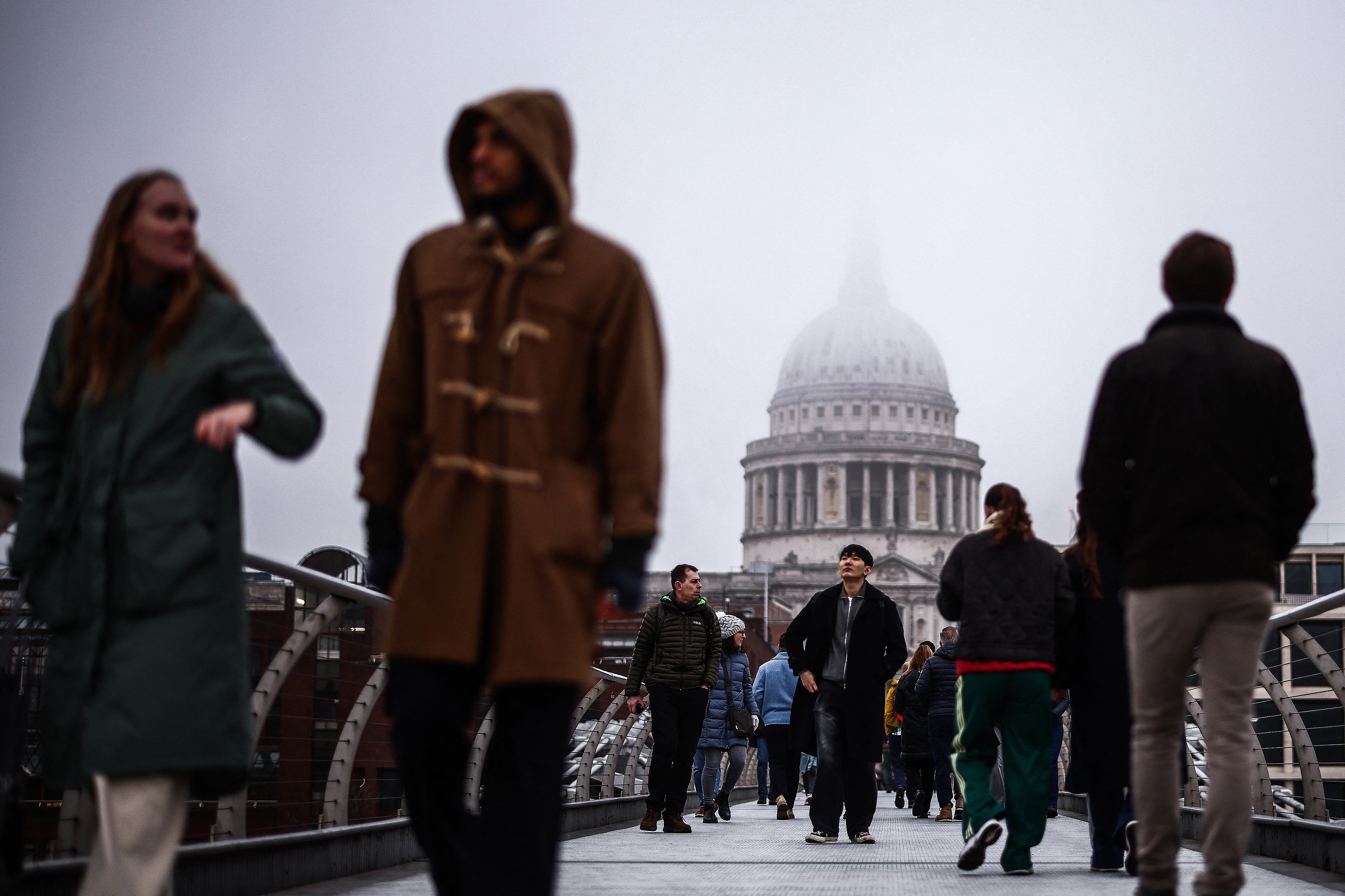
With temperatures expected to plunge to sub-zero the Met Office, has warned of the possibility of snow grains falling in some areas.
The UK Health Security Agency (UKHSA) has issued fresh yellow alerts that cover the North East, North West and East of England, The Humber, as well as the East and West Midlands, lasting until 9am on 21 January.
The Met Office predicted snow grains may fall across the south, but what are they?
What are snow grains?
The Met Office describe snow grains as “a very small form of solid precipitation” similar to a grain of rice.
Snow grains appear as very small white and opaque grains of ice. These grains are fairly flat or elongated with a diameter generally less than 1mm.
They are the solid equivalent to drizzle.

When do snow grains fall?
Although frozen and occurring when the temperature is between approximately 0 °C and –10 °C, the other properties of this precipitation correspond to drizzle.
Snow grains fall mostly from Stratus clouds or from fog, and never in the form of a shower. Except in the mountains, snow grains usually fall in small quantities.
When the grains hit hard ground, they do not bounce.
What are snowflakes?
Snowflakes are composed of individual ice crystals that have collided within a cloud and frozen together, producing an infinite variety of forms.
At very low temperatures, snowflakes remain in a powdery “dry” form, such as those that fell at the beginning of the snow storm in south-east England on Monday.
At higher temperatures, closer to 0C, the snowflakes stick together to become larger and wetter. This type of snow can easily turn to rain and sleet. Wet snow is more common in Britain than the powdered variety, which famously interfered with the hydraulic systems of British Rail trains when it fell in February 1991, and will forever after been known as the “wrong kind of snow”.
They say that the largest snowflake ever found was 8in by 12in, and fell in Siberia in 1971.
And ice pellets?
Ice pellets have a diameter of less than 5mm and are spherical or irregular.
The Met Office say ice pellets form when snowflakes start to melt as they fall from the cloud, then fall through sub-freezing air where they re-freeze into grain-like particles.
Ice pellets tend to be smaller than hailstones and bounce when they hit the ground.
Like snow, they accumulate on the ground but form a smaller, denser covering which can be difficult to clear away.
They tend to occur in brief showers from tall cumulus clouds in the winter months.

