


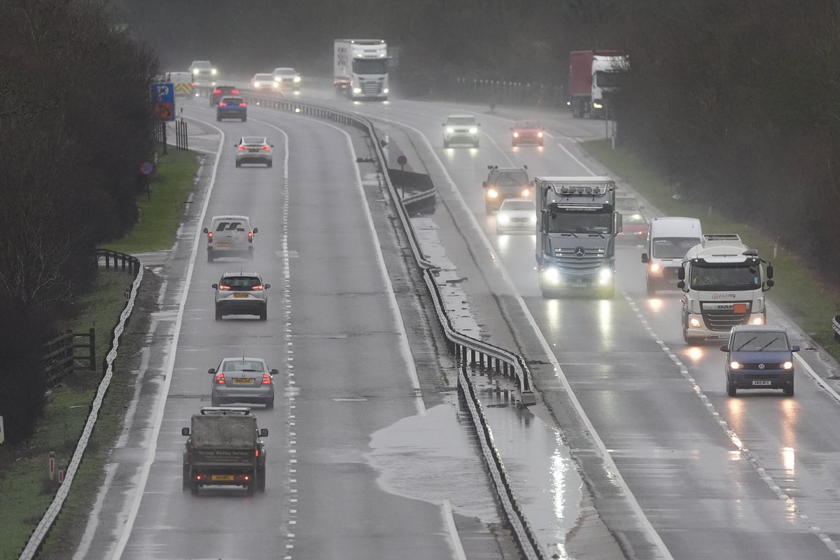
Wet and windy weather is expected to batter most of the country this Easter bank holiday weekend, with conditions forecast to become increasingly unsettled from Friday and remain bleak for the long weekend.
Heavy bands of rain will move southwards from Friday morning and persist throughout the weekend, as temperatures are expected to drop to 1C in Scotland on Saturday morning.
But warmer weather is due to follow next week, with highs of 15C forecast for much of the country.
Met Office deputy chief meteorologist Steven Keates said: “As we head into Good Friday and Easter Saturday, the weather is expected to turn more unsettled, with spells of rain at times, some of which could be heavy. This will be followed by sunny spells and showers, with the driest conditions likely towards the southeast of the UK.
“It is also likely to become windy at times across all areas, particularly in exposed north-western locations. While there remains some uncertainty in the detail at this point in time, there is a strong signal for wet and windy conditions to continue into the Easter Weekend.”

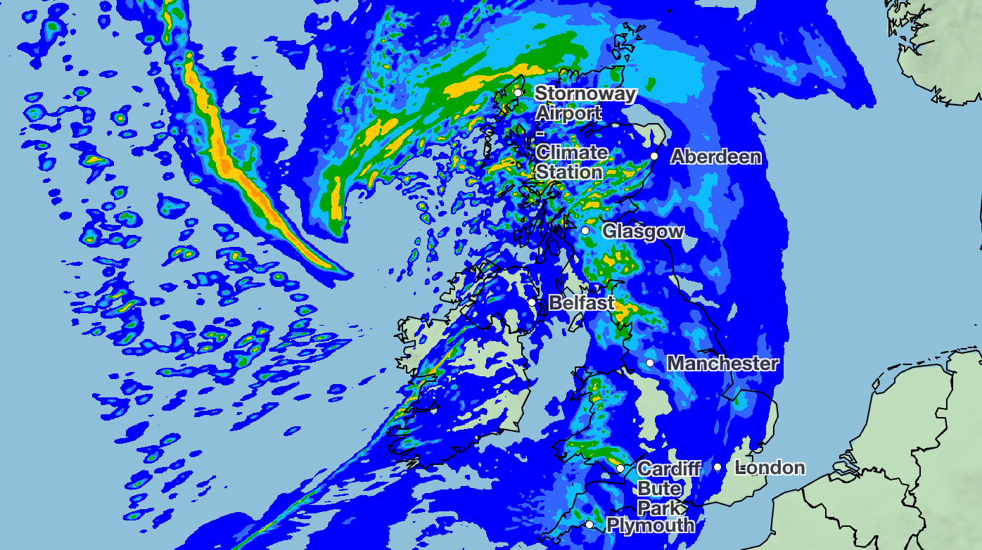
Scotland and Northern Ireland will experience weather ranging from 2 to 9C throughout Friday and Saturday, with some areas expected to see temperatures plunge to 1C. Wintry conditions will continue on Easter Sunday, but will slightly improve on Monday in some areas.
Wales and England will enjoy slightly warmer weather over the weekend, with highs of 14C forecast for parts of the south and southeast of England on Saturday.
By Tuesday, temperatures across the country are expected to climb, with 13 to 15C weather forecast for much of Wales and England, and a high of 16C expected in London.
“As April begins, the balance tips slightly towards drier conditions, and with the clocks going forward and days lengthening, there will be more opportunity to enjoy any sunshine that does develop,” the Met Office said.
“However, any sustained warmth looks less certain, and changeable conditions remain a key feature of the outlook.”


Met Office five-day weather forecast
Today
Blustery shower in the north will continue this morning, with snow over the hills at first, but these will gradually ease through the day. Largely dry in the south with sunny spells, although a few showers possible. Winds easing.
Tonight
Clear spells in the east at first with a frost developing. Skies clouding over elsewhere with outbreaks of rain and drizzle.
Tuesday
Cloudy at first with outbreaks of rain and drizzle. Turning drier for many in the afternoon with some warm bright or sunny spells. Windy in the north with coastal gales.
Outlook for Wednesday to Friday
Changeable over the next few days with largely cloudy skies. Spells of rain are likely at times with strong winds, and it will gradually turn colder towards the weekend.

