







Super Typhoon Bavi made landfall on the US island of Rota in the Pacific, causing widespread destruction and prompting warnings of a life-threatening situation across the Northern Marianas and Guam, as the storm continues westward toward the Philippines.
The National Weather Service said the western eyewall of the storm passed directly over Rota Monday morning, with the entirety of the island within the eye.
Winds exceeding 150 miles per hour will continue across Rota during eyewall passage, it said, warning of a “catastrophic damage and life-threatening situation.”
Before landfall, the NWS had warned that a direct hit would make most of the island “uninhabitable for weeks, perhaps longer. Many non-concrete, non-reinforced homes will be destroyed, with total roof failure and wall collapse. Nearly all trees will be snapped or uprooted and power poles downed. Power outages will last for weeks to possibly months.”
Rota, the southernmost of the Northern Marianas, has a population of around 1,500. Lou Rosario, public information officer at the Rota Municipal Operations Centre, said residents had already reported major damage and that some cell phone services were down after a communications tower fell.
“We are hanging in there. We are experiencing heavy winds and flooding here,” he said, according to AFP.

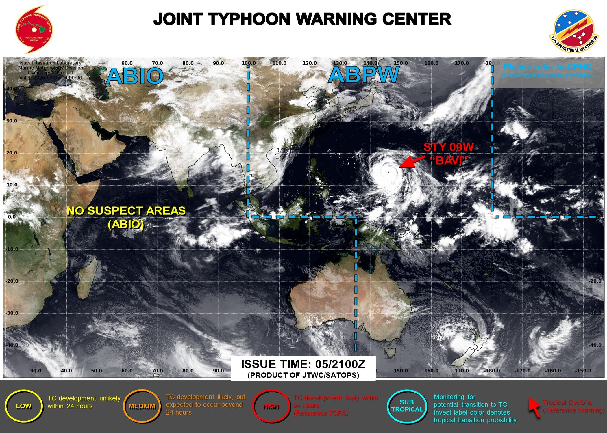
In addition to Rota, typhoon warnings were in effect for Guam, Tinian and Saipan, while tropical storm warnings and watches were in place for other islands in the area.
The storm comes months after Super Typhoon Sinlaku, the strongest tropical cyclone this year, battered islands in the region in April, bringing ferocious winds and relentless rains.
NWS meteorologist Landon Aydlett confirmed in a Facebook Live briefing that maximum sustained winds of 180 miles per hour – equivalent to a category five hurricane – had been recorded as the storm passed.
A cyclone becomes a super typhoon when it has maximum sustained winds of 150 miles per hour or stronger.

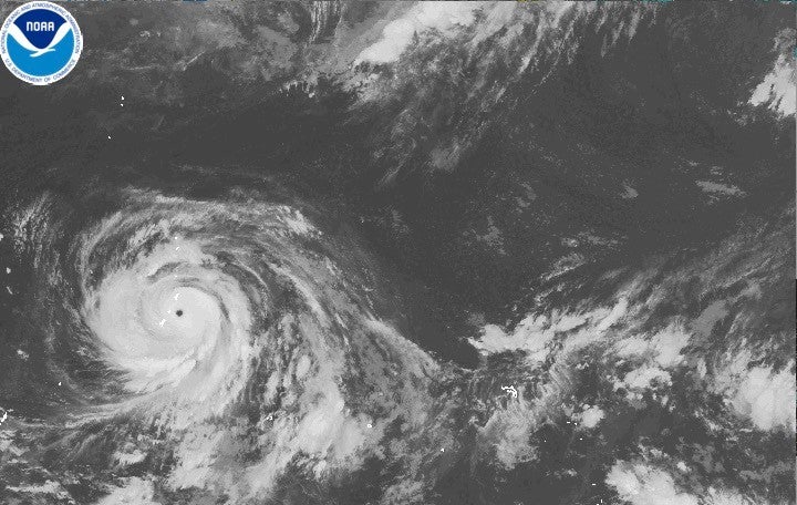
Bavi posed an “imminent danger to life,” National Weather Service meteorologist Edwin Montvila said, with the weather service telling residents across the islands to immediately move to interior rooms where they were sheltering and stay away from windows.
“Entering outside can result in death from flying projectiles. Utility poles and associated power lines will be down,” Montvila said. “All those would pose a risk to life, so we recommend people to not venture out and hunker down.”
Bavi was moving at a relatively fast pace Monday morning, which gave officials hope that it would pass quickly, Montvila said. But because of the size of the storm, the islands could still face tropical storm conditions, including torrential rains, through at least Monday night.
The typhoon “was a bit erratic” overnight into Monday morning, wavering north and south as it headed west toward the islands, Montvila said.


Guam governor Lou Leon Guerrero urged people to stay home or at a shelter and to avoid the roads.
“Here we are experiencing another severe force of winds on our island, but as we know, we are always ready and prepared in our planning and our protection of our people,” she said in a video posted on social media Sunday.
According to the Joint Typhoon Warning Center, Bavi is forecast to maintain super typhoon intensity as it continues west-northwest over the coming days, heading toward the Philippines before potentially tracking toward Taiwan later in the week.
The storm comes as the World Meteorological Organisation has warned that El Nino, a natural climate phenomenon that warms surface temperatures in the central and eastern equatorial Pacific and alters global wind and rainfall patterns, has already begun and is likely to be strong.
Warmer oceans help tropical storms to intensify and carry more moisture. The world’s oceans recorded their hottest June on record, according to the European Union’s Copernicus Marine Service.
Meanwhile, western Japan is bracing for further heavy rain from a stationary seasonal front expected to persist through Monday, the Japan Meteorological Agency said. The front is being fuelled by warm, moist air from Tropical Storm Maysak, currently over mainland China.
Northern Kyushu faces the risk of extreme downpours, with officials urging residents to remain alert for flooding in low-lying areas, swollen rivers, landslides, lightning strikes and tornadoes.


.png?trim=0,150,0,150&width=1200&height=800&crop=1200:800 "Australia’s Albanese apologises for ‘inappropriate’ comments about Kylie Minogue – UK Times")