


The UK is bracing for Storm Floris to hit on Monday, with northern England and Scotland set to be buffeted by winds of up to 85mph.
The Met Office has issued both yellow and amber wind warnings. Yellow signals a possibility of disruption to travel and activities, while amber indicates a higher likelihood of disruption, including potential risks to life and property.
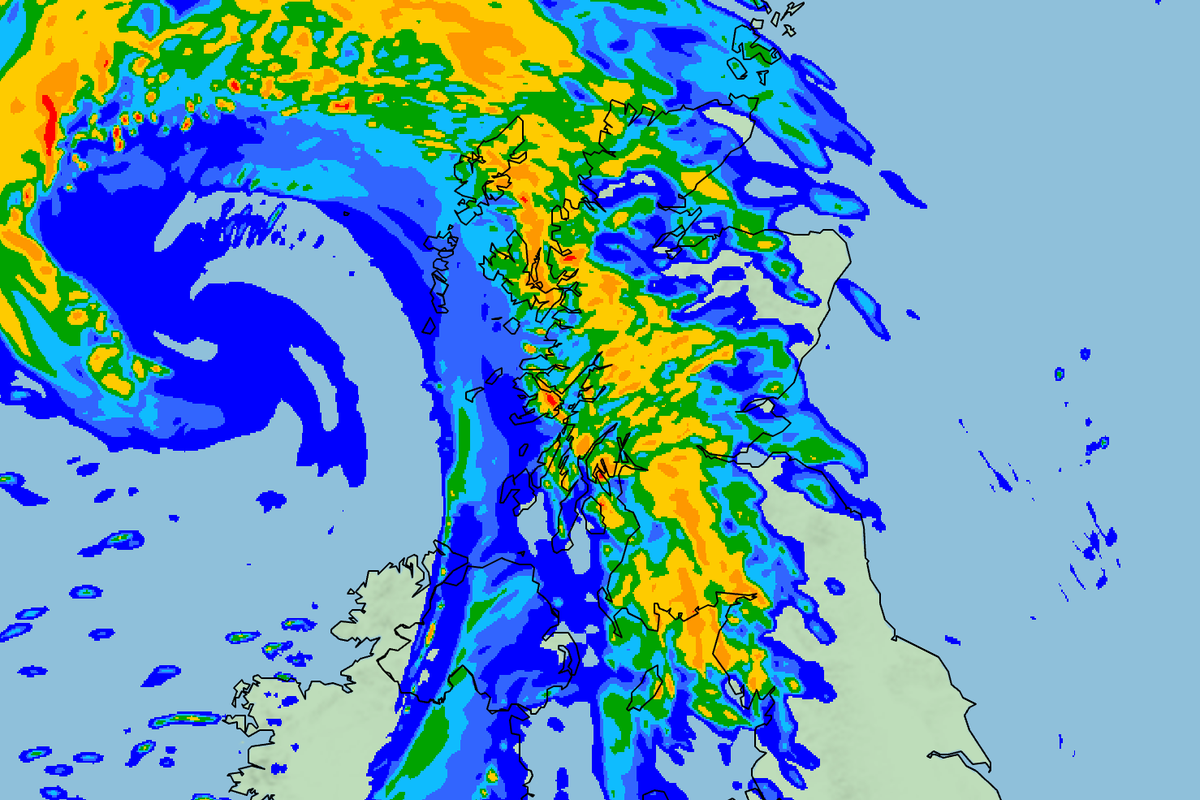
The yellow warning covers Northern Ireland, north Wales, northern England, and parts of Scotland, where harsh winds are expected along the coasts.
The meteorological body has also issued an amber warning for the northern Scottish mainland, where the hardest winds stand to pose a “danger to life”.
The yellow warning will be in force from 6am on Monday until midnight, while the amber warning will remain in effect from 10am to 10pm.
Heavy rain is also expected, with transport disruption possible.

.png)
Matthew Lehnert, a Met Office chief meteorologist, said: “Across the warning area, many inland areas are likely to see gusts of 40-50mph, with 60-70mph more likely at higher elevations and around exposed coasts in Scotland. There is a small chance that some locations here could even record gusts of 85mph.”
Going into Tuesday, the yellow warning will remain with the east of the warning area still expected to experience strong winds. However, the gusts will begin to ease to the west late on Monday.
Flying debris may cause injuries and pose a danger to life in places inside the warning zone, the Met Office said, as could “large waves and beach material being thrown on to sea fronts, coastal roads and properties”.
It is possible tiles will be blown from roofs, and there may be power cuts.
The weather could also disrupt road, rail, air and ferry services, and lead to bridges being closed.
Storm Floris is the sixth storm to be named in the 2024-25 season, the last of which was Éowyn in January.
While it is more likely that named storms hit in late autumn and winter, they can also happen in summer.
It follows the driest spring in the UK for more than a century, as well as three heatwaves in quick succession. June was the warmest month since records began.
The hot temperatures left swathes of the country on hosepipe bans as farmers warned of potential food shortages after being forced to harvest their crops early to avoid damage.
Last month was the fifth warmest July on record, according to provisional figures from the Met Office. The mean average temperature across the month was 16.8C, ranking it behind 2006 (17.8C), 2018 (17.2C), 1983 (17.1C) and 2013 (17C).
All four nations recorded one of their top 10 warmest Julys since Met Office temperature records began in 1884: Scotland and Northern Ireland saw their sixth warmest, England its seventh and Wales its tenth.
However, July also brought increasingly wet and temperamental weather. On Thursday, parts of England were warned about the possibility of flash floods in the Midlands, south and eastern England, and London. Heavy rain pummeled parts of the south, even though days earlier, parts of the UK were enjoying highs of 28C.
The weather should stay relatively dry over this weekend ahead of the storm. The latest Met Office update says there will only be “small amounts of cloud”.

