


Snow and gales could return to the UK this week as the Met Office forecasts a drop in temperatures.
After a wet start to the year, the country has seen brighter weather in recent days, with the start of March bringing warmer weather.
Last Thursday was the hottest day of the year so far, with sunshine bringing temperatures to 19.2C.
The highest temperature was recorded in Northolt, London, and exceeded the previous hottest day of the year, when 18.7C was recorded at Kew Gardens the week before.


It meant parts of the UK were hotter than Barcelona, with the Spanish city seeing highs of 16C.
But the coming weather is expected to be a little more drab, with rain, wind and clouds expected across the UK.
According to the Met Office’s most recent forecast, cloudy weather is expected this week before the possibility of some snow in the Scottish mountains.
A weather warning is in place for Wednesday in northern Scotland with strong winds expected. Severe gales developed around midnight on Tuesday and will persist until midday across the Outer and Inner Hebrides.

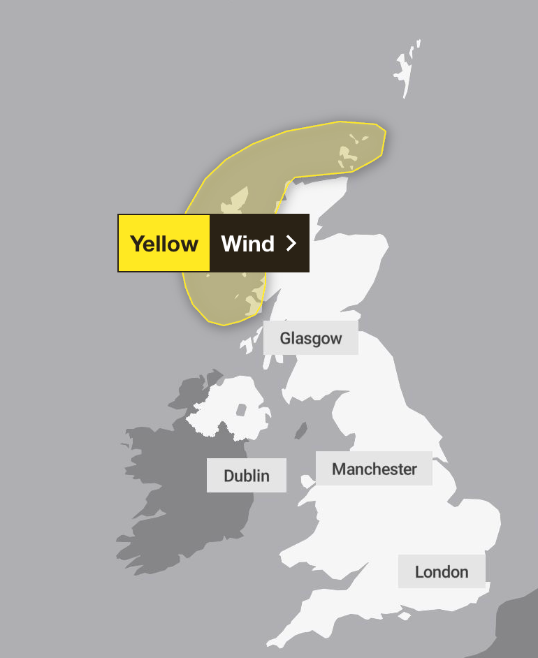
The gusts will move northeast across other exposed parts of northwest mainland Scotland and into Orkney during Wednesday morning
Rain and blustery showers will accompany the strongest winds, with gusts of 65-70 mph possible – with a small chance of up to 80 mph in a few locations.
Cloud is expected on Wednesday morning, when the Met Office says it will clear, allowing for some sunny weather.
The forecaster adds: “The southeast is likely to enjoy the best of the weather on Wednesday when temperatures are set to be near or slightly above average, with 15C peaks possible. The northwest will be cooler with maximum temperatures in the high single figures.”

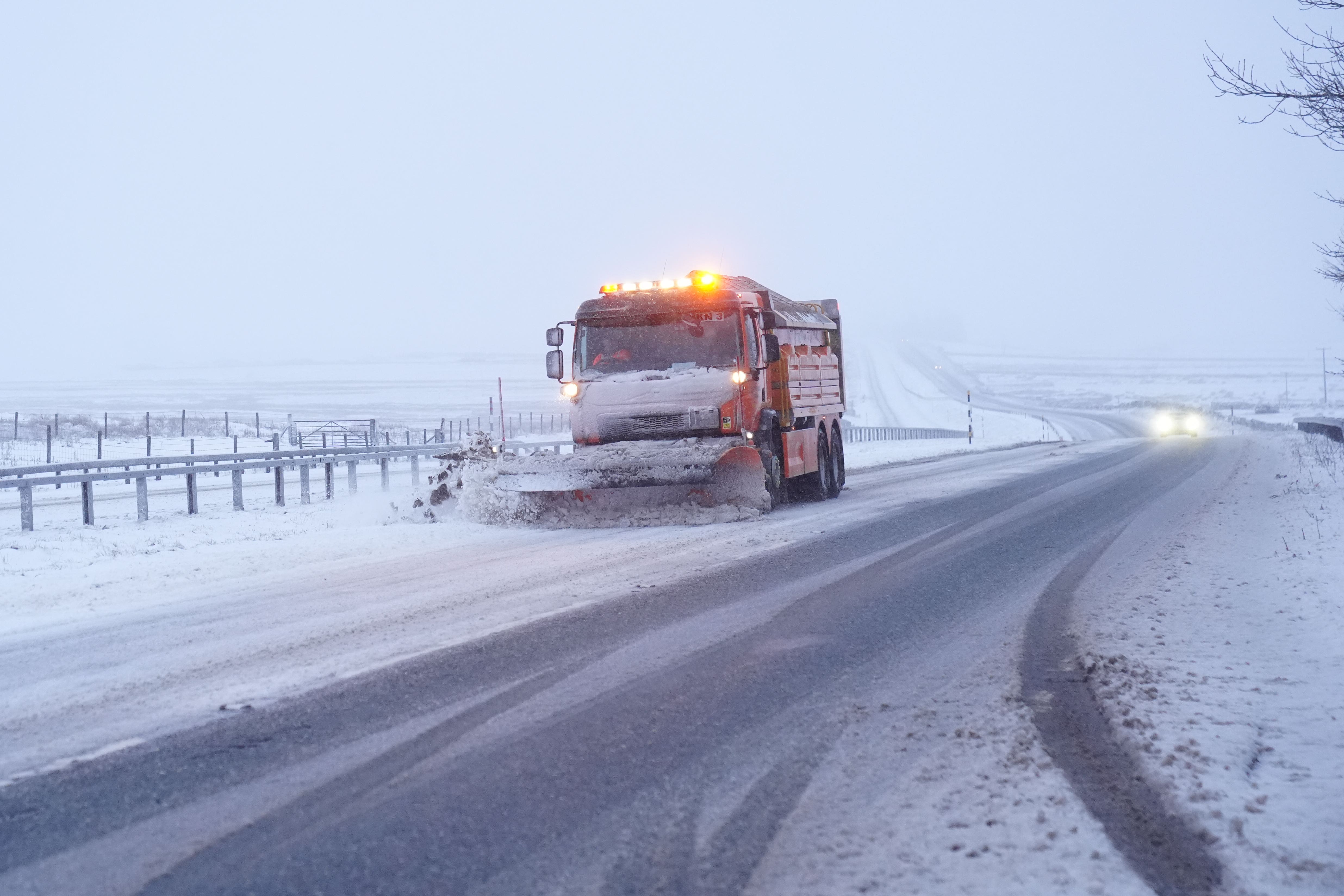
Rain and wintry conditions are forecast from Thursday, however. The Met Office says most will face brisk winds and outbreaks of rain, while “blustery showers will follow into the northwest with a chance of snow on Scottish mountains”. Snow could then return on Friday, with a colder day expected across the UK.
Jason Kelly, chief operational meteorologist for the Met Office, said: “A notable shift in wind direction to a north-westerly flow will bring a markedly colder day nationwide on Friday, with the potential for a mixture of sunny spells, heavy showers, coastal gales, and snow over high ground.
“There’s also the possibility of accumulations on lower hills, too. The picture will become clearer closer to the time, so keep an eye on our forecast as the week progresses.”
Latest Met Office forecast
Today:
A bright but breezy day with a mix of sunshine and scattered showers. The showers most frequent across the north, with a risk of hail and thunder here. Clouding over with some rain arriving by dusk in the far northwest.
Tonight:
A band of rain and strong winds in the far northwest will move slowly southeastwards overnight, reaching northern England by dawn. Largely dry ahead of it, with some clear spells.
Thursday
Rain and strong winds continuing to move southeastwards during Thursday. Still some sunshine ahead of this, with bright spells and showers following. Feeling colder later in the north.
Outlook for Friday to Sunday:
Rather cold on Friday with a mix of sunny spells and showers. Drier on Saturday before further wind and rain moves across the UK on Sunday. Temperatures gradually recovering.


