


The UK is due a hot spell as temperatures soar as high as 20C next week.
The Met Office has predicted that most places will experience dry with clear or sunny spells at the turn of the month, with gentle winds. While temperatures are expected to remain in the mid-teens over the weekend, with highs of 14C in London, it’s expected to get far warmer from Sunday onwards.
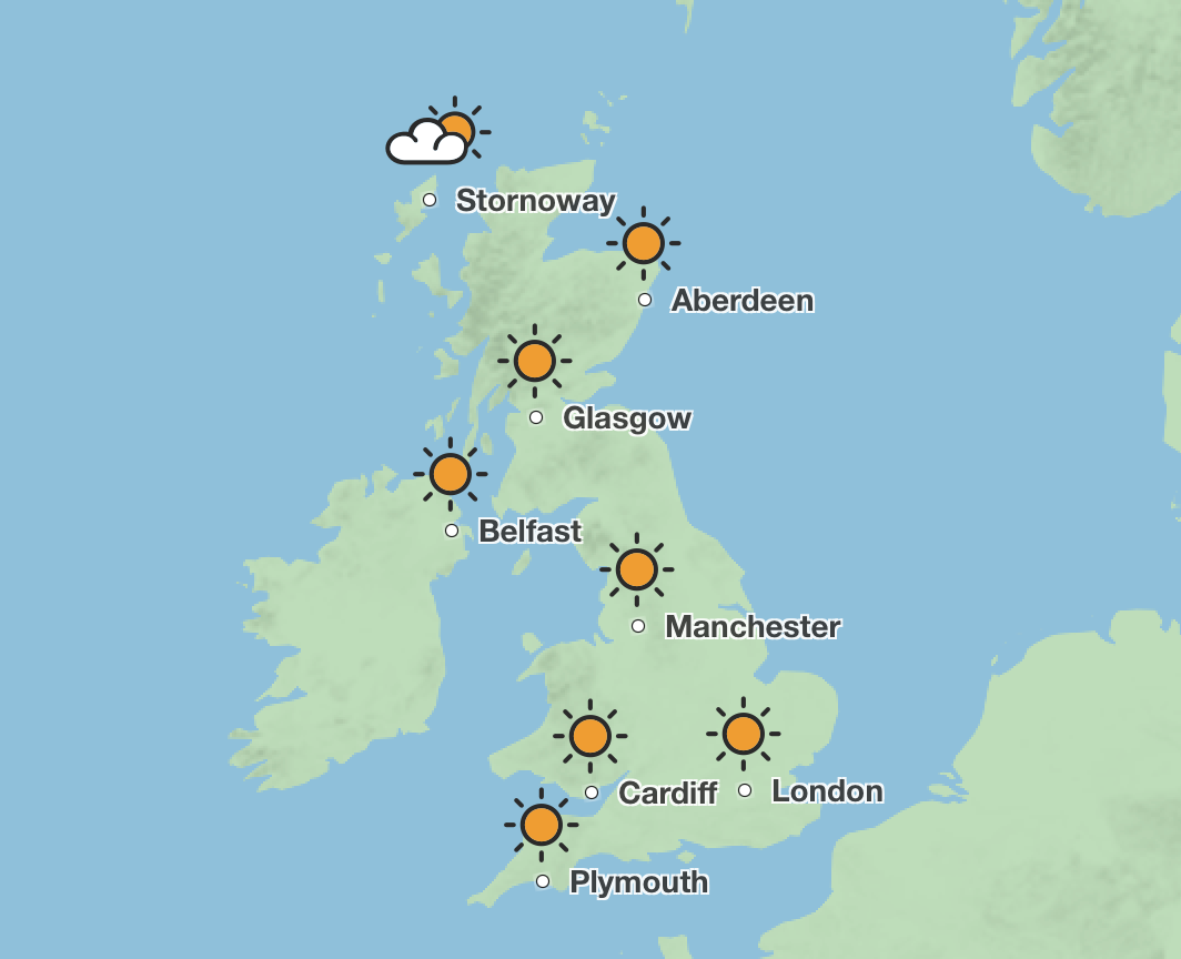
Sunday will see highs of 18C in the south of England with temperatures remaining above average in the north of England and Scotland at 14C. These conditions will remain consistent until Wednesday where they rise to the late-teens and early twenties.
London and the surrounding south-east can expect the warmest temperatures on Wednesday as the mercury shoots up to 20C, but temperatures across the UK will be equally balmy as the north experiences 18C.
The Met Office said that inland areas will see a general day-on-day warming next week, but cooler near coastal areas, with an additional risk of mist or sea fog affecting parts of the east coast. While some showers may affect southern or western areas, the country can expect “dry and fine weather”.


“Temperatures will likely be around or above normal and feeling warm during the day, and some cold nights are still possible when skies are clear.”
A Met Office spokesperson said that while the temperatures are looking to be above average for the time of year, they are not expected to reach heatwave thresholds.
They told The Independent: “A heatwave is an extended period of hot weather relative to the expected conditions of the area at that time of year, which may be accompanied by high humidity.
“While the temperatures next week are expected to be warm and above average for the time of year, they are unlikely to be anything unusual for late March, early April and they are not expected to reach heatwave thresholds.”

Today:
Breezy in the northwest as cloud and outbreaks of rain continue to slowly sink southeast, becoming heavy and persistent through the afternoon. Ahead of this, mist and fog clearing to leave a dry day with some warm sunny spells.
Remaining windy in the northwest as rain continues southeast overnight, but tending to weaken in the south by dawn. Blustery showers following behind with a risk of hail and thunder.
Friday:
Rain eventually clears southeast through Friday, with sunny spells and scattered showers following behind. Feeling a little cooler than Thursday, with temperatures closer to average
Saturday to Monday:
Further rain possible in the west on Saturday, but drier overall on Sunday and Monday. Temperatures recovering to above average by early next week.

