

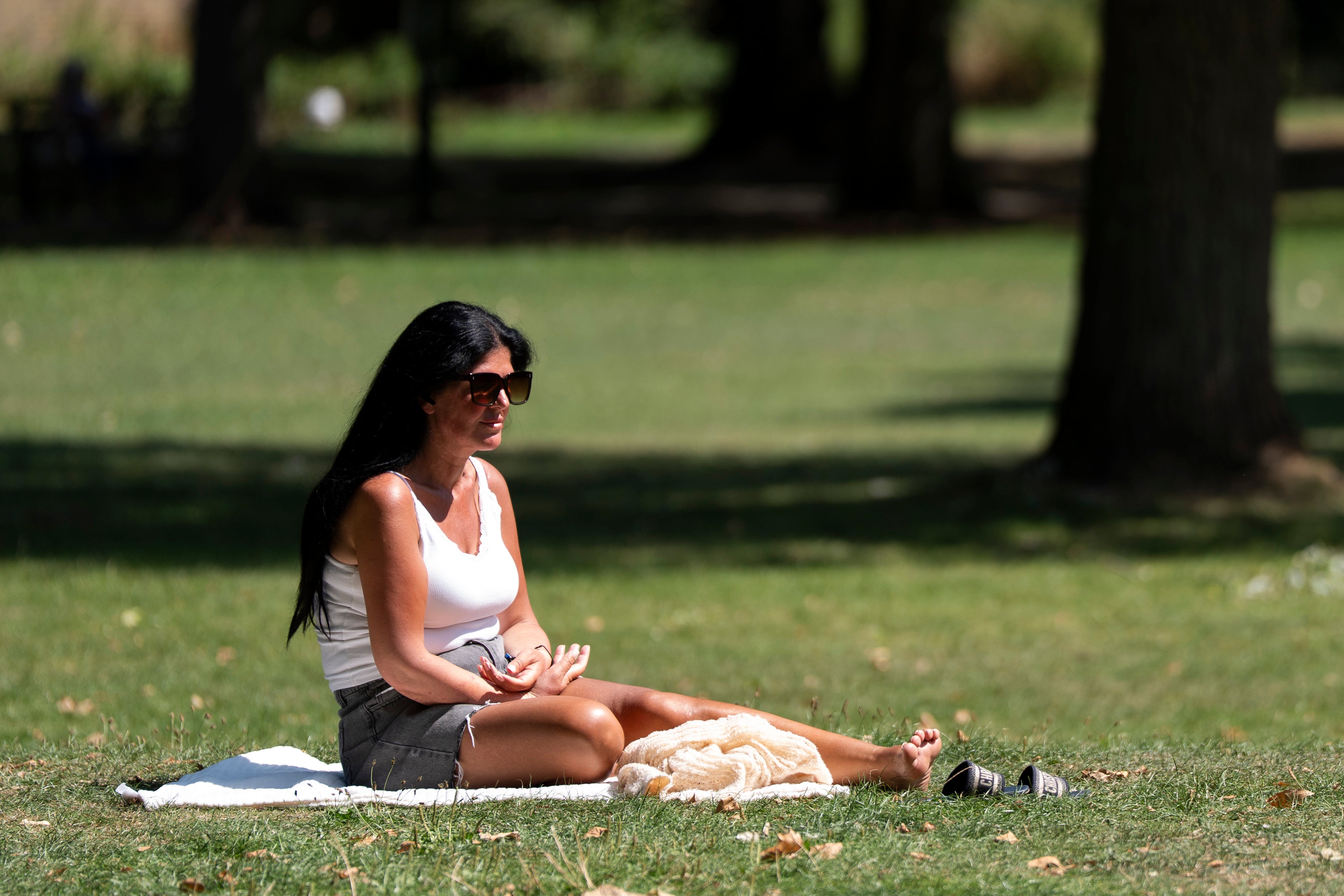
London is bracing for what could be the hottest day of the year so far, with temperatures forecast to reach 28C on Friday.
This surge in warmth, which follows a month where temperatures largely remained below average, is expected to settle over England and Wales, potentially lasting into next week.
While clouds and scattered thundery showers could temper Saturday’s heat, forecasters suggest that if these conditions hold off, temperatures might even surpass Friday’s peak.
Should the mercury remain high, the capital could experience a heatwave by Sunday, according to Met Office operational meteorologist Niamh Murray.
She clarified that London’s heatwave threshold for this period is defined as 28C for three consecutive days in the same location.
Ms Murray said: “If temperatures hold up on Saturday, we are expected to keep high pressure around into at least the first half of next week, so there is a potential that we may see those thresholds reached by the time we get to Sunday but… it’s not 100% certain on that yet.”
The contrast with the recent cool spell will make the weekend feel much warmer, she added.
Most of England and Wales, as well as parts of Scotland, will see above average temperatures.
The east coast could see mid to high 20Cs, while Wales and western parts of the north of England may reach 25C.
The hottest weather will be in the south-east, particularly around London, and potentially towards East Anglia.
UK-wide highs for this time of year are 15.5C and recent temperatures have peaked at about 14C.
The hottest day of the year so far was 26.6C in Kew Gardens, west London, on April 8.
Further showers are forecast on Wednesday though they will be lighter and more isolated, Ms Murray said.
Thursday will start cloudy for everybody with some rain in Wales and parts of north-west England.
The weather will brighten for many by the afternoon as the clouds break up, particularly in the south.
