




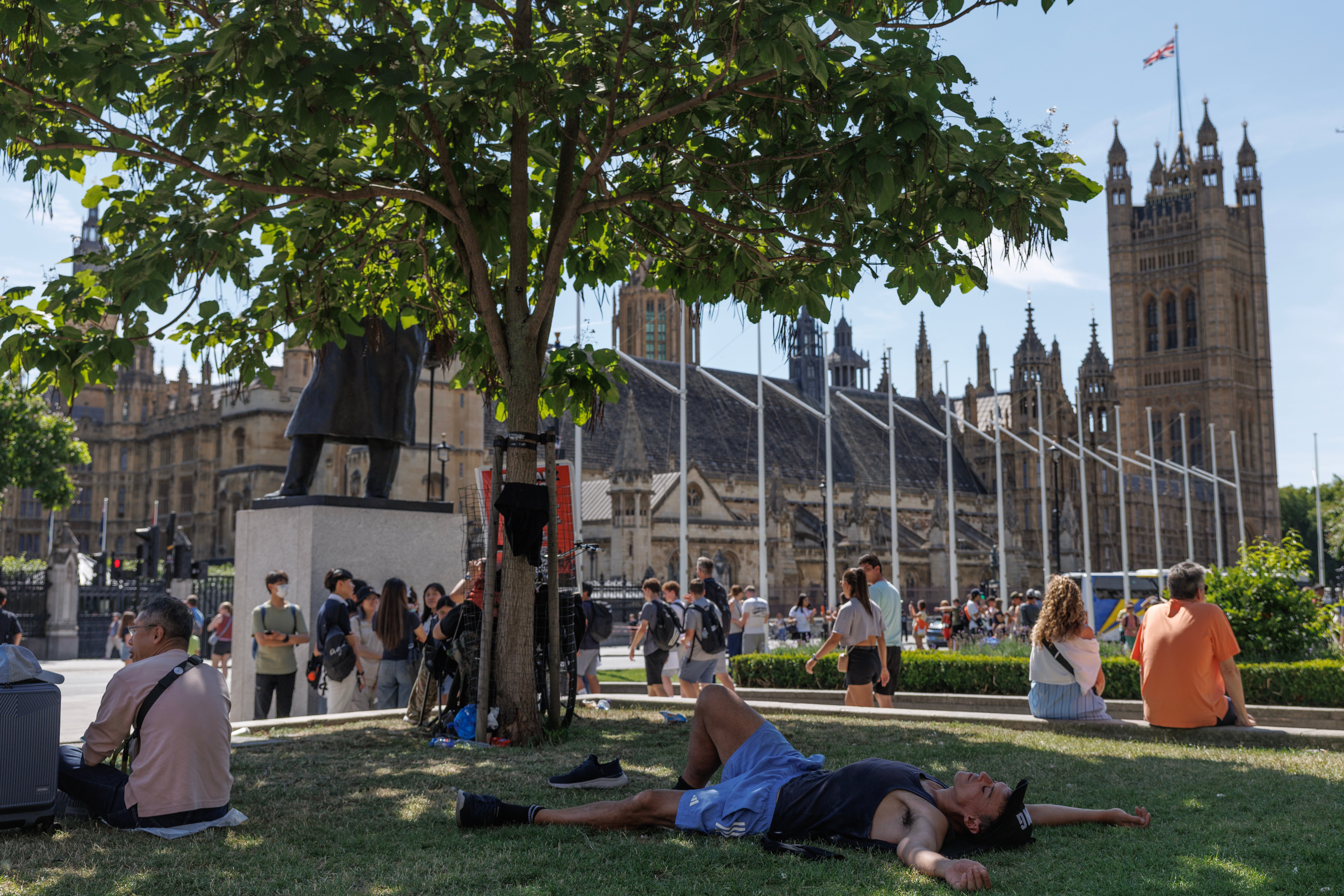
Temperatures are set to climb to 35C this week as the UK braces for what could be the longest heatwave in 50 years.
Amber heat health alerts have been issued by the UK Health Security Agency for the Midlands, eastern and southern England until 9pm on 12 July.
Meanwhile, yellow heat health alerts are in force across northern England for the same period.
This means significant impacts are likely across health and social care services due to the high temperatures, including a rise in deaths, particularly among those aged 65 and over or with health conditions.
The UKHSA warned of a potential increase in water-related incidents across England, including risks from cold water shock and drowning.
Steven Keates, Met Office deputy chief forecaster, said people should “take the usual precautions with the heat and the sun”.

He said: “Parts of the UK are entering heatwave conditions – the third heatwave in the UK so far this year.
“However, unlike the May and June heatwaves, we are not expecting this heatwave to be record-breaking.
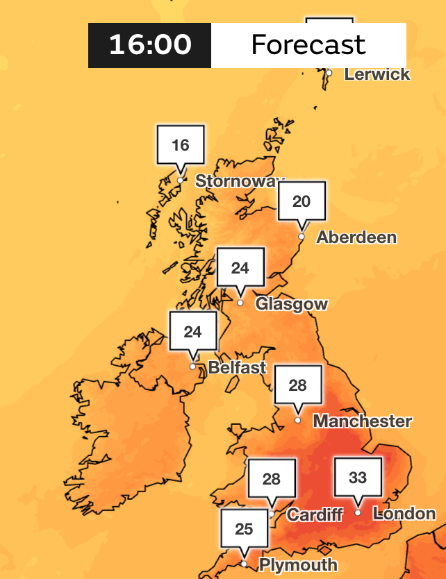
“Temperatures this week are not expected to reach the highs we witnessed last month, though parts of southern England in particular are likely to see several days in the low 30s, and a few places could reach 34-35C later this week.”
England could also experience “tropical nights” later this week, where temperatures will not fall below 20C.


National Rail Enquiries has urged train passengers to check for updates over the coming days because of the heatwave.
Vehicle breakdown rescue companies are also likely to be busier than usual because of the high temperatures.
Drivers are advised to carry plenty of water and conduct essential vehicle checks before setting off, particularly tyre pressures and their levels of coolant and oil.
When will the heatwave end?
This heatwave could be one of the longest the UK has seen since 1976. During that heatwave, England saw multiple locations record 13 to 16 consecutive days above 30C.
According to the Met Office, the very warm conditions are likely to last into the weekend, but with increasing humidity and a growing risk of showers or isolated thunderstorms.
Into early next week, temperatures are likely to trend down slightly, although many areas will stay dry, fine and still warm.

Met Office forecast
Tonight:
Cloud and patchy drizzle persisting for northwest Scotland. Otherwise, staying dry with prolonged clear periods. Some mist and fog patches developing, mainly in the west. A warm night.
Thursday:
Early mist and fog soon clearing, England, Wales and eastern Scotland experiencing another hot day with hazy sunshine and light winds. Cloudier for Northern Ireland and northwest Scotland.
Outlook for Friday to Sunday:
Remaining warm and sunny across much of England and Wales, though turning breezier. Sunny spells emerging in the far northwest as cloud moves southwards into other areas of Scotland.


.jpg?trim=0,0,0,0&width=1200&height=800&crop=1200:800 "The franchises — from McDonald’s to Chick-fil-A — which make the most in sales: ranked – UK Times")