


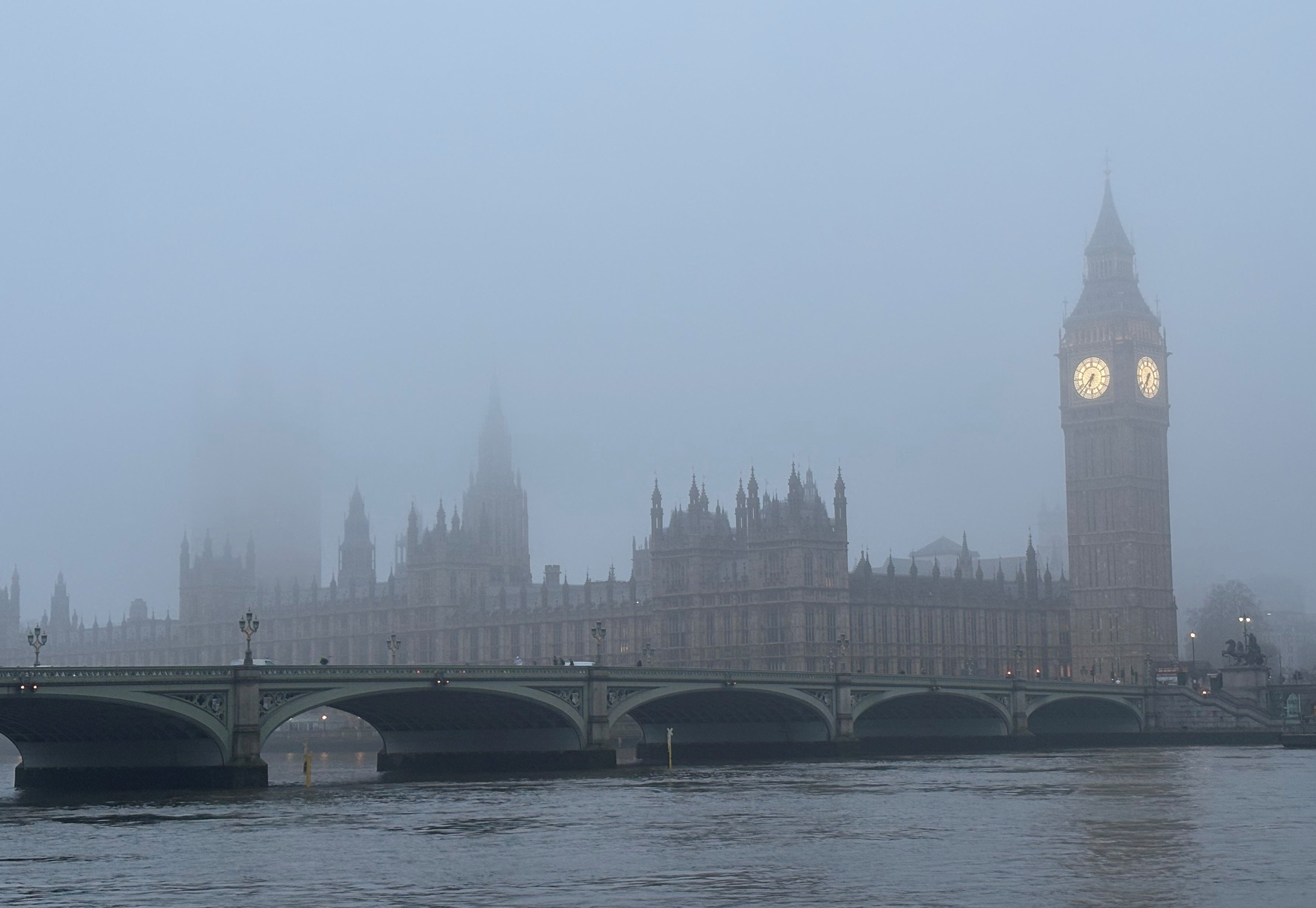
The UK will see sunshine and showers this week after a week of snow and gale force wind warnings.
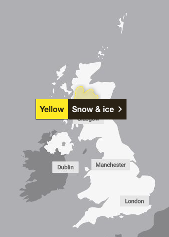
A snow and ice yellow weather warning remained in place until 9am on Friday across parts of Scotland, according to the Met Office.
Between 2 to 5cm of snow was predicted to fall across the Aberdeenshire and Highlands area, with 10cm possible on high ground. The forecaster warned this could lead to travel disruption and injuries from slippery surfaces and roads.
Temperatures are set to drop across the rest of the UK on Friday. The forecaster said temperature peaks of 7 to 9C were slightly below what Brits had experienced in the past few days and blustery winds would make that feel more like between 1 and 5C.
Met Office meteorologist Alex Deakin said: “It is still quite breezy, not as windy as yesterday, but we’re in the colder air, so that breeze is really bringing something of a chill. Even in the sunshine, temperatures below average, 8 to 9C at the very best.
“Temperatures drop when the showers come along, and when you add on that breeze, even though it’s not as strong as yesterday,” he added. “It feels… single figures, 2-3C.”
For the rest of the weekend, England and Wales will see dry and bright spells, while Northern Ireland and western Scotland will see showery weather.

“Temperatures though still only around or even a touch below average,” said Mr Deakin. “Many places staying in single figures, but perhaps 10 or 11C across the south. A little bit higher, but the winds will be that much lighter on Saturday compared to today.”
More cloud and some outbreaks of rain are expected on Sunday.
It comes after yellow weather warnings for wind brought up to 70mph gale-force winds across parts of Scotland, the north of England, the Midlands, Wales and Yorkshire on Thursday.
The gale force winds marked a major change from the otherwise mild weather experienced this March, as last Thursday the Met Office recorded the hottest day of the year so far, with sunshine bringing temperatures to 19.2C.
The highest temperature was recorded in Northolt, London, and exceeded the previous hottest day of the year, when 18.7C was recorded at Kew Gardens the week before.
Met Office forecast for the weekend
Friday
Friday will generally be a brighter day than of late, though with a cold and sometimes blustery wind blowing. There will also be some showers, these most widespread in the north and west, where locally heavy and in places wintry.
Overnight
There will be a mixture of clear spells and scattered showers this evening. The showers will become more confined to the northwest overnight. A widespread frost forming with icy patches.
Saturday
After a cold start, there will be sunny spells and further showers on Saturday. Most of the showers are likely in the North West. Lighter winds overall, and feeling less chilly.
Outlook for Sunday to Tuesday
Rain spreading southeastwards on Sunday. Sunshine and blustery showers following, showers turning wintry in the North. Wet and windy in the North and west thereafter. Brighter further South East. Turning milder.

