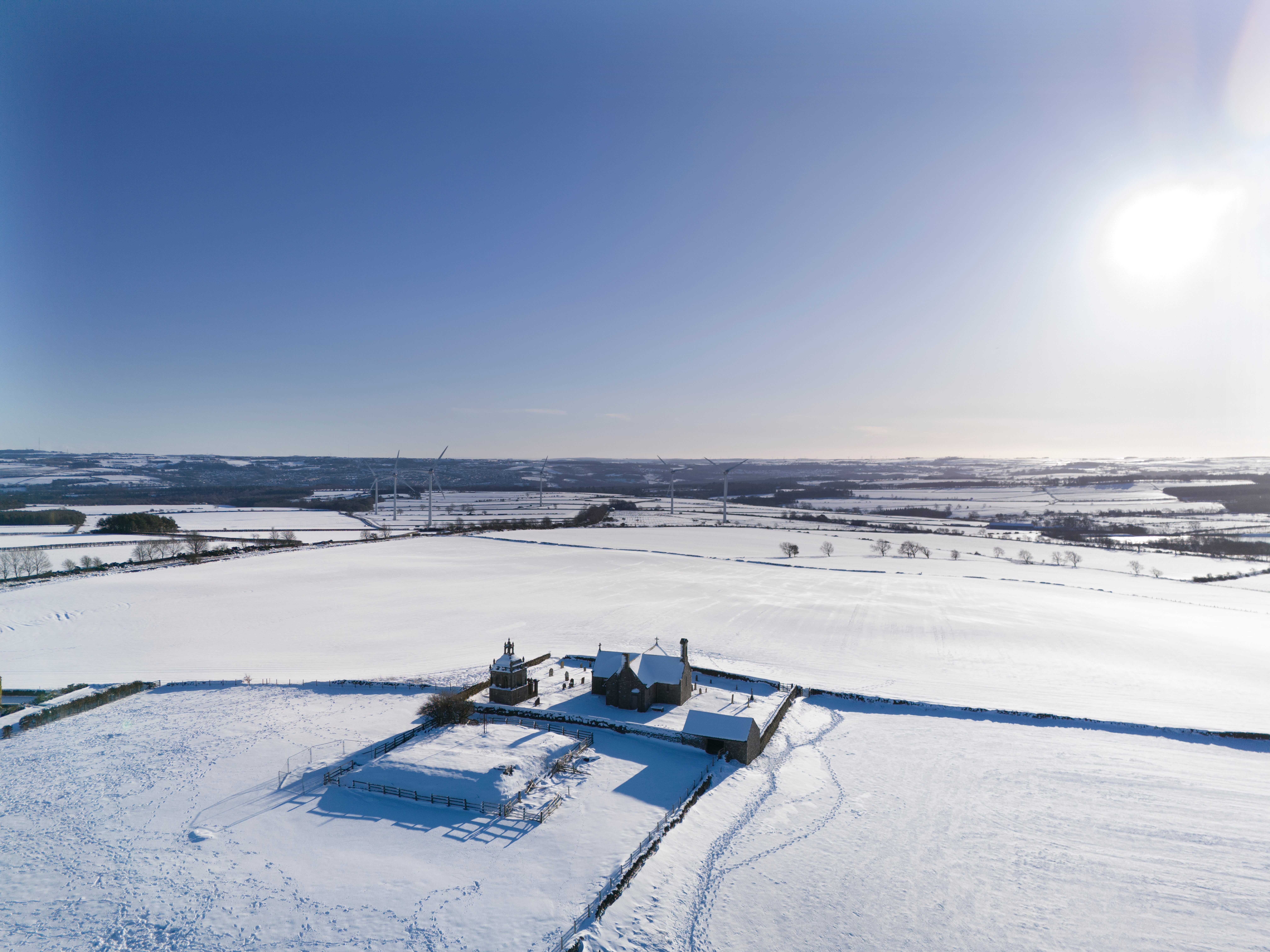
The Met Office says the UK is highly likely to see a polar vortex collapse in March – the weather phenomenon responsible for 2018’s ‘Beast from the East’.
A sudden stratospheric warming (SSW) was behind the bitter winter storm which struck Britain in March 2018, bringing heavy snow, ice and strong winds and leading to 17 deaths across the UK.
Forecasters believe there is an 80 per cent chance of an SSW, which involves the rapid descent of cold air from the stratosphere known as a polar vortex collapse, occurring by the middle of the month.
Professor Adam Scaife, the head of long-range forecasting at the Met Office, said: “This could lead to some impacts on weather in the UK toward the end of March. What those impacts might be will become clearer nearer the time.”

It comes as a recent warm spell is set to come to an end, with a sharp drop in temperatures expected next week as a band of rain introduces colder air as it moves southwards. Wintry showers are likely in northern and northeastern areas.
Temperatures will drop below average by Tuesday, plunging as low as -4C overnight in rural Scotland as daytime maximum temperatures range between 5 to 8C. Wintry showers are “likely” and accumulations of snow will largely remain in hilly areas, the Met Office said.
The impact of an SSW will be felt later in the month, forecasters said.
The phenomenon is characterised by a reversal of winds, the stratosphere polar vortex, high in the stratosphere. These winds are currently weakening rapidly.

A weakening of the rapid westerly winds above the Arctic, known collectively as the polar night jet, occurs when natural weather patterns or disturbances lower down in the atmosphere disrupt their flow and cause the jet to “break just like waves on the beach”.
After this, “cold air then descends very rapidly in the polar vortex and this causes the temperature in the stratosphere to rise very rapidly, as much as 50C over only a few days”, the Met Office explained.
Known as sudden stratospheric warming, the process typically takes place “between 10km and 50km above the Earth’s surface” – meaning the warming effect is not noticeable on the ground.
The SSW will sometimes cause the jet stream to ‘snake’ more, tending to create a large area of blocking high pressure. Typically this will form over the North Atlantic and Scandinavia, which means northern Europe and the UK are likely to get a long spell of dry, cold weather.
But this is not always the case, the Met Office added, and not all SSW events are followed by severe weather.
In the Met Office’s forecast for next week, deputy chief meteorologist Chris Bulmer explained: “A frontal zone will move south across the UK during Sunday night and Monday with much colder air following from the north.
“With these cold northeasterly winds, we are likely to see some wintry showers across the north and the east of the UK next week, but any accumulations of snow are likely to be largely restricted to hills. We’ll also see a return to overnight frosts in many areas.”


