


China evacuated more than 150,000 people from southern coastal areas as Typhoon Matmo made landfall on Sunday, bringing powerful winds and torrential rain to Guangdong and Hainan provinces.
The National Meteorological Centre (NMC) said the storm, the 21st typhoon of the year, had intensified into a severe system before striking the coast between Wuchuan in Guangdong and Wenchang in Hainan around midday.
The typhoon, moving northwest at about 25km per hour (15mph), carried maximum sustained winds of 151km per hour (94mph) and prompted the weather bureau to issue a red alert – the highest in China’s four-tier warning system.
In Guangdong, authorities said 151,352 people had been relocated from high-risk and coastal areas, including nearly 10,000 from maritime zones. More than 10,000 emergency and rescue personnel were deployed across the province, reported the South China Morning Post.
Provincial deputy party secretary Meng Fanli urged local officials to “swiftly go into battle mode” and ensure “no casualties and minimal losses” during the National Day and Mid-Autumn holidays, during which huge numbers of people typically travel across the region.
The port city of Zhanjiang imposed a full shutdown on classes, businesses, transport and public services on Saturday night, closing all highways from Sunday morning.
Similar measures were taken in parts of Hainan, including the capital Haikou and the coastal city of Wenchang, where schools, workplaces, ferry routes and scenic spots were temporarily closed.
All trains on Hainan Island were suspended on Sunday, with high-speed rail services expected to resume on Monday. Flights to and from Haikou Meilan International Airport were cancelled from Saturday evening, with gradual resumption anticipated later on Sunday.
More than 100 flights were expected to be affected in Hong Kong on Sunday as Typhoon Matmo moved past the city, with up to 27 cancellations forecast, the Airport Authority said.
The Hong Kong Observatory announced that the storm was weakening and would gradually move further away during the day. At midday, the typhoon’s centre was about 390km (242 miles) from Hong Kong.
The weather agency said it would lower its No 3 Strong Wind Signal to the No 1 Standby Signal once strong winds no longer posed a general threat.
“However, under the influence of the outer rainbands of Matmo, local winds are still strong at first, occasionally up to gales offshore and on high ground. There will be occasional squally showers, thunderstorms and intense gusts,” the Observatory said, urging the public to stay away from water sports and other coastal activities.
Although the storm is expected to weaken further by the afternoon, authorities cautioned that unsettled weather could persist, especially in coastal and highland areas.
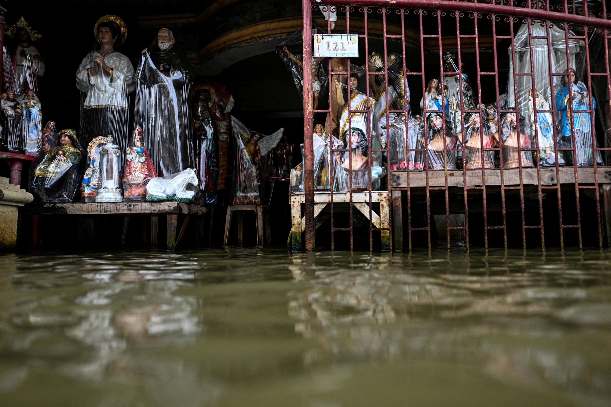
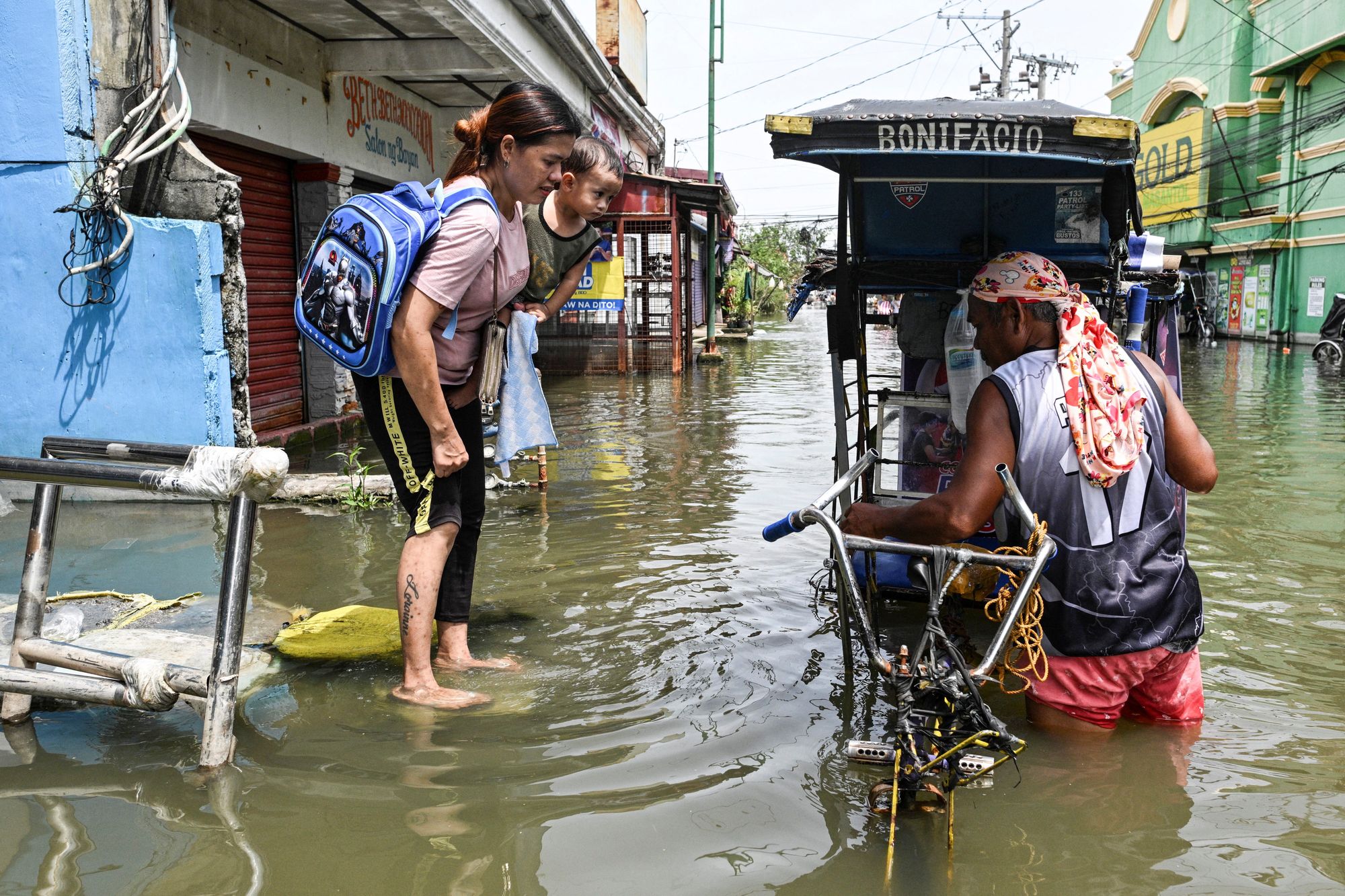
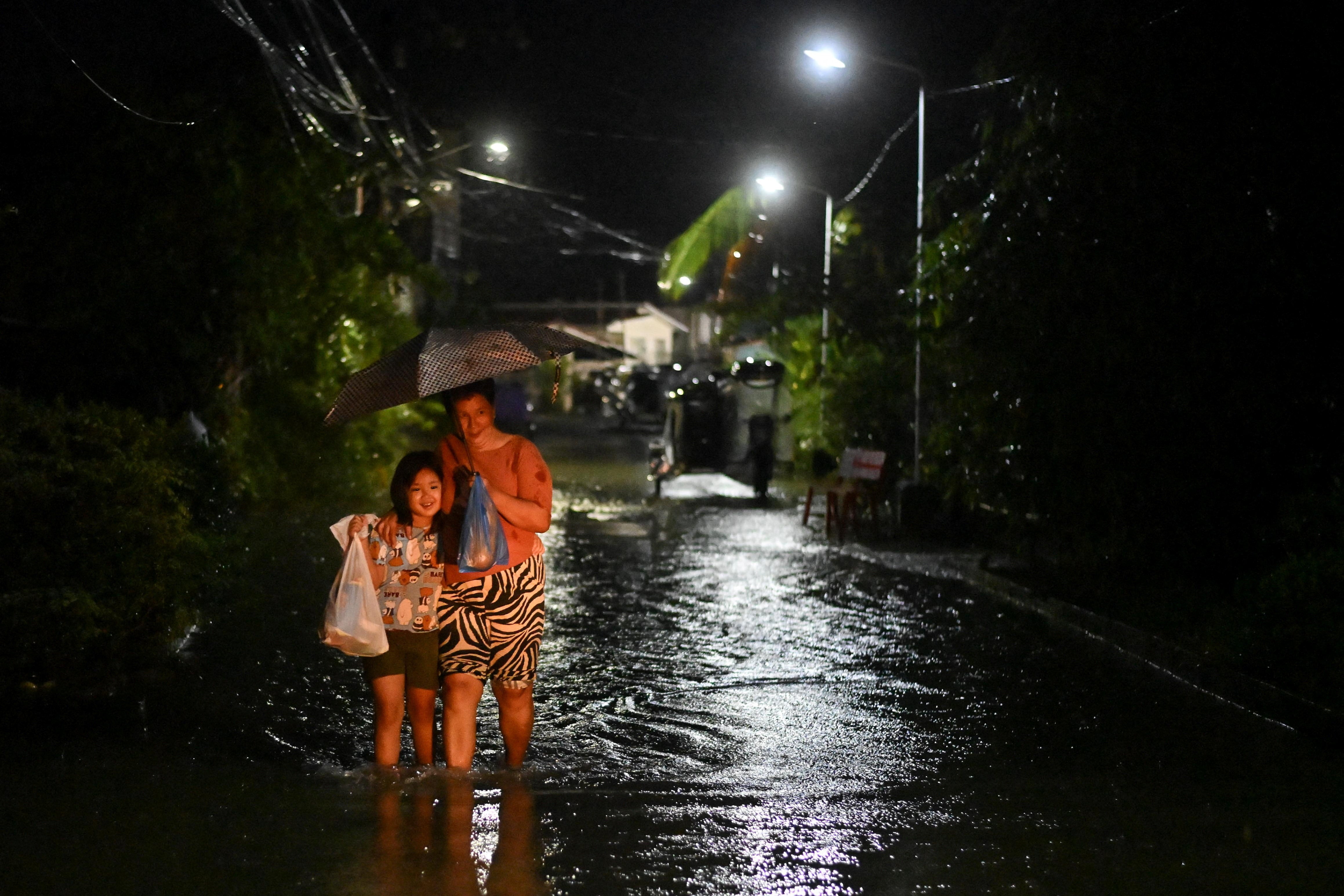
The storm is forecast to weaken as it moves inland towards China’s Yunnan province and northern Vietnam. Authorities have warned of heavy rainfall of up to 249mm (9.8 inches) in some areas, raising risks of flooding and landslides.

