

A village in Cornwall has experienced a 50-day spell of rain and has already received more rainfall in February than it typically would over the whole month.
Cardinham, near Bodmin, has not had a dry day since 30 December, and has endured 441.4mm of rain since the beginning of the year, according to the Met Office. However, the village is still short of its record from 2000, when it experienced 72 consecutive days of rain.
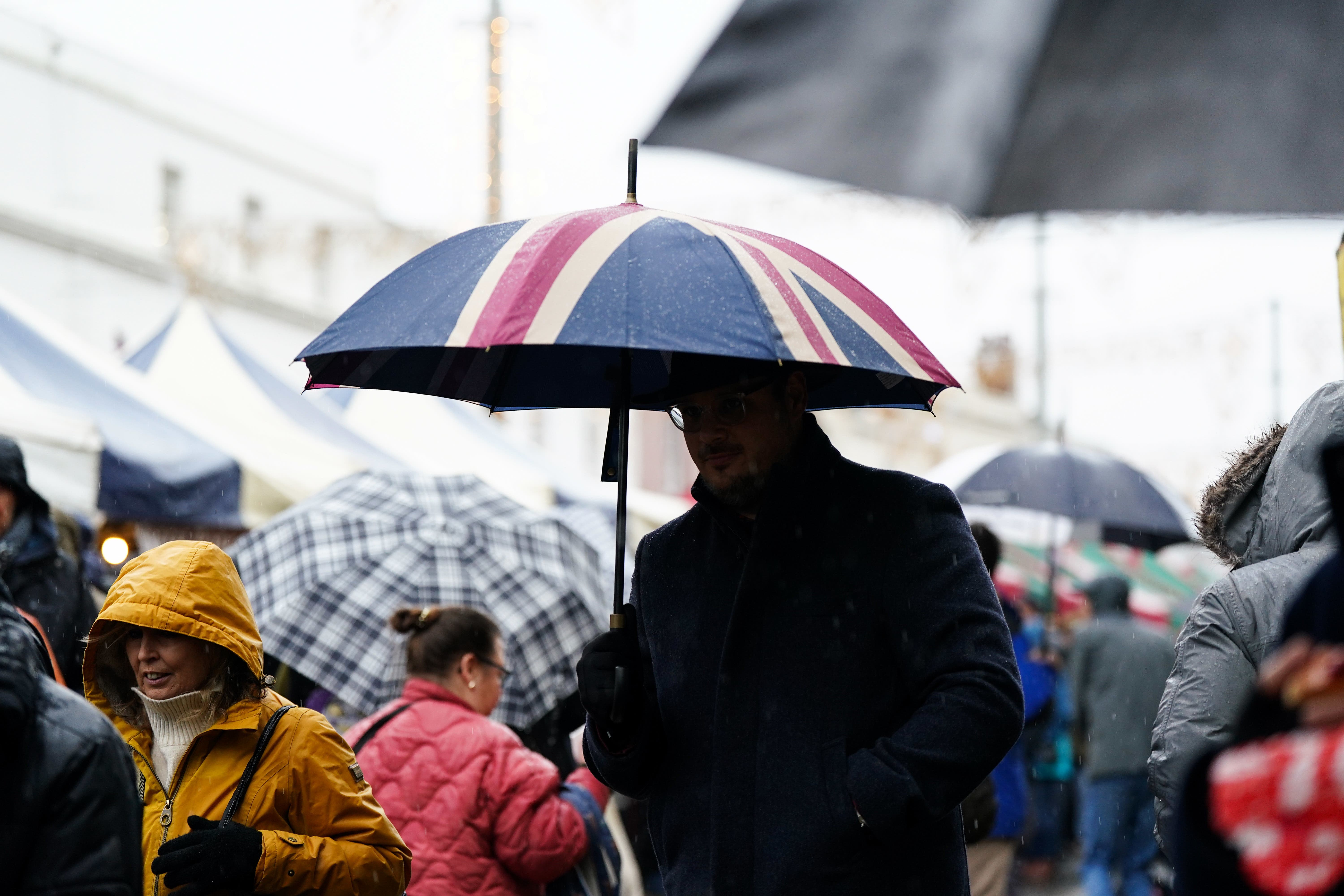
The UK has been continuously battered by unsettled weather this winter, with Storm Pedro bringing more ice and rain across the country just this week.
Met Office spokesperson Grahame Madge said the south-west region of England has had particularly high levels of rainfall due to several low-pressure systems coming towards the UK.
He said: “There’s been a blocking area of high pressure over Scandinavia for much of winter, which has meant that because that air is very cold and very dense, it’s hard to budge.
“So these low-pressure storms have been coming across the Atlantic with nowhere to go. They’ve run into this immovable block, and that means that they’ve been depositing more rainfall across areas of the UK because they can’t move any further because of that blocking area of high pressure.”
Mr Madge said Cardinham is still forecast to have rain in the coming days, but the bad weather could soon ease as conditions begin to settle.
“We’ve still got an unsettled picture,” he added. “The forecast has moderated a little bit in that we are getting periods of more settled condition in between the pulses of rain.”
The UK’s rain deluge saw Northern Ireland have its wettest January on record after it experienced 70 per cent more rainfall than the long-term average.
South-west England and the east of Scotland also had some of their wettest Januaries on record.
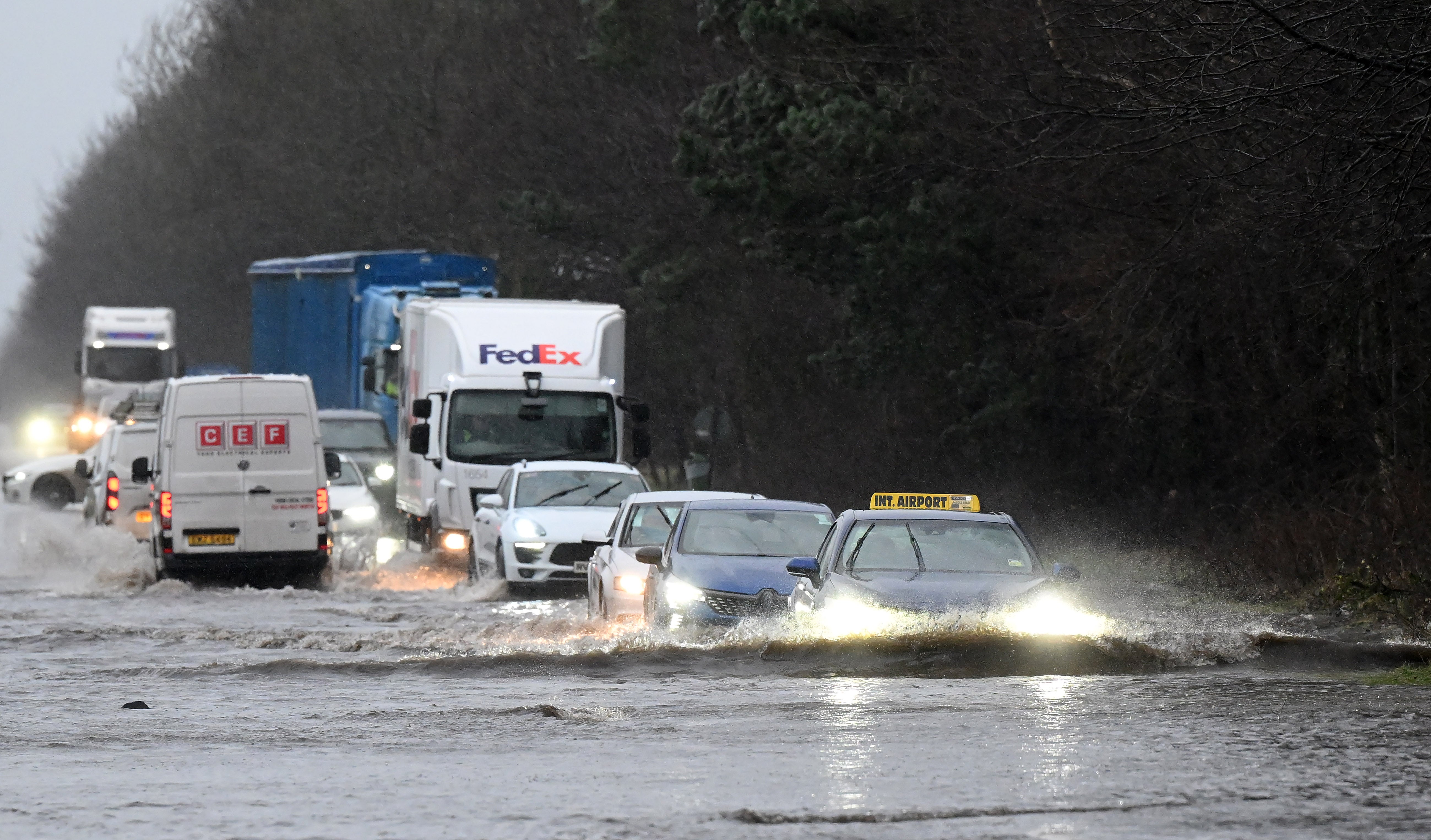
Currently, the Environment Agency has 67 flood warnings in place for England, where flooding is expected, and 169 flood alerts, where flooding is possible.
The UK Health Security Agency (UKHSA) has issued a cold health alert for the East Midlands, East of England, North East, North West, West Midlands, Yorkshire and the Humber, and the South West until Friday evening.
Met Office weather forecast for the week
Thursday
Cloud for most, with early rain or showers in the North and East. Some clear spells elsewhere before strengthening winds bring heavy rain into Northern Ireland and western Scotland later. Turning chilly where skies remain clear, but staying frost-free.
Friday
A chilly start. Outbreaks of rain moving eastwards through the morning. A brighter afternoon, with heavy and blustery showers for many. Winds freshening and turning milder from the West.
Outlook for Saturday to Monday
Much milder but often cloudy with rain or drizzle, heaviest West, with brighter spells at times. Sunday stays unsettled with rain. Monday briefly brighter before further rain spreads in later.
