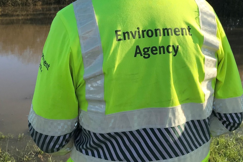
A major flood defence scheme that will significantly reduce flood risk to over 2,300 properties in Shoreham-by-Sea and Lancing has taken a step towards completion.
Work at Reach E3 of the Shoreham Adur Tidal Walls Scheme is now complete, and the northern section of the Downs Links and Lower Beach Road re-opened on Friday 8 December. Also, as a result of updated modelling for the project, part of the initial plan has been adapted and removed the need for major road works on the A283.
The scheme is made up of 10 individual reaches, and work has now started on 8. Construction on Reach E3, which includes raised walls and embankments, started in 2016. Steel piling has been installed along the landward side of the path, and has been clad with brick. The Downs Link path was diverted while the work was completed.
Before the advanced modelling took place, the A283 in Shoreham-by-Sea would have been closed for 12 weeks during construction in spring 2018. As a result of the work that has already taken place, only a very small number of properties would benefit from the road raising work. Instead, these properties will be protected with an alternative solution to ensure they also receive a high level of protection, and the road closures will not take place.
Elsewhere in the scheme, work on the slipway at Emerald Quay and Sussex Wharf is advancing and the first panes of glass of the riverside flood defence have been installed. The majority of the new wall at Ferry Bridge is complete, and vegetation clearance at Riverbank in preparation for construction to start in the new year is finished. Work at Emerald Quay, Shoreham Harbour Club and Shoreham Fort is progressing well. Much of the work behind the High Street in Shoreham has been completed and is open to the public.
Phil Prydderch, Shoreham Adur Tidal Walls Manager at the Environment Agency, said
It’s great news for Shoreham-by-Sea residents that we will be able to enhance their flood protection without the planned road closures. We are committed to protecting all members of the community, and will continue to work with local residents to make them more resilient against flooding.
When complete, the Shoreham scheme will reduce the tidal flood risk to thousands of homes and a significant number of commercial properties in the area, as well as protecting important local infrastructure such as the road network, railway line and Shoreham Airport. This is one part of the Environment Agency’s national effort to reduce the risk of flooding for at least 300,000 homes by 2020/21.
The Shoreham scheme’s dedicated project visitor centre is at Beach Green Car Park, Shoreham-by-Sea, and is open between midday and 500pm on weekdays. Further information on the scheme is available on GOV.UK or by calling 03708 506506.
You can also request information by emailing [email protected] or by writing to
SSD Enquiries, Environment Agency
Teville Gate House
25 Railway Approach
Worthing
West Sussex
BN11 1UR
Notes to editors
The visitor centre may be closed during scheduled visits from schools and interest groups.
Flood impact maps showing the detailed modelling outcomes are available upon request.
All media enquiries 0800 141 2743. Or email [email protected]
Follow us on Twitter @EnvAgencySE


