


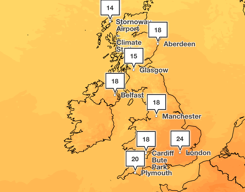
Temperatures are set to cool off across the UK as the country is braced for more rain and thunderstorms into next week, according to the Met Office.
The forecaster said temperatures would be around the high teens and low 20s from Monday, with thundery downpours expected in the South East.
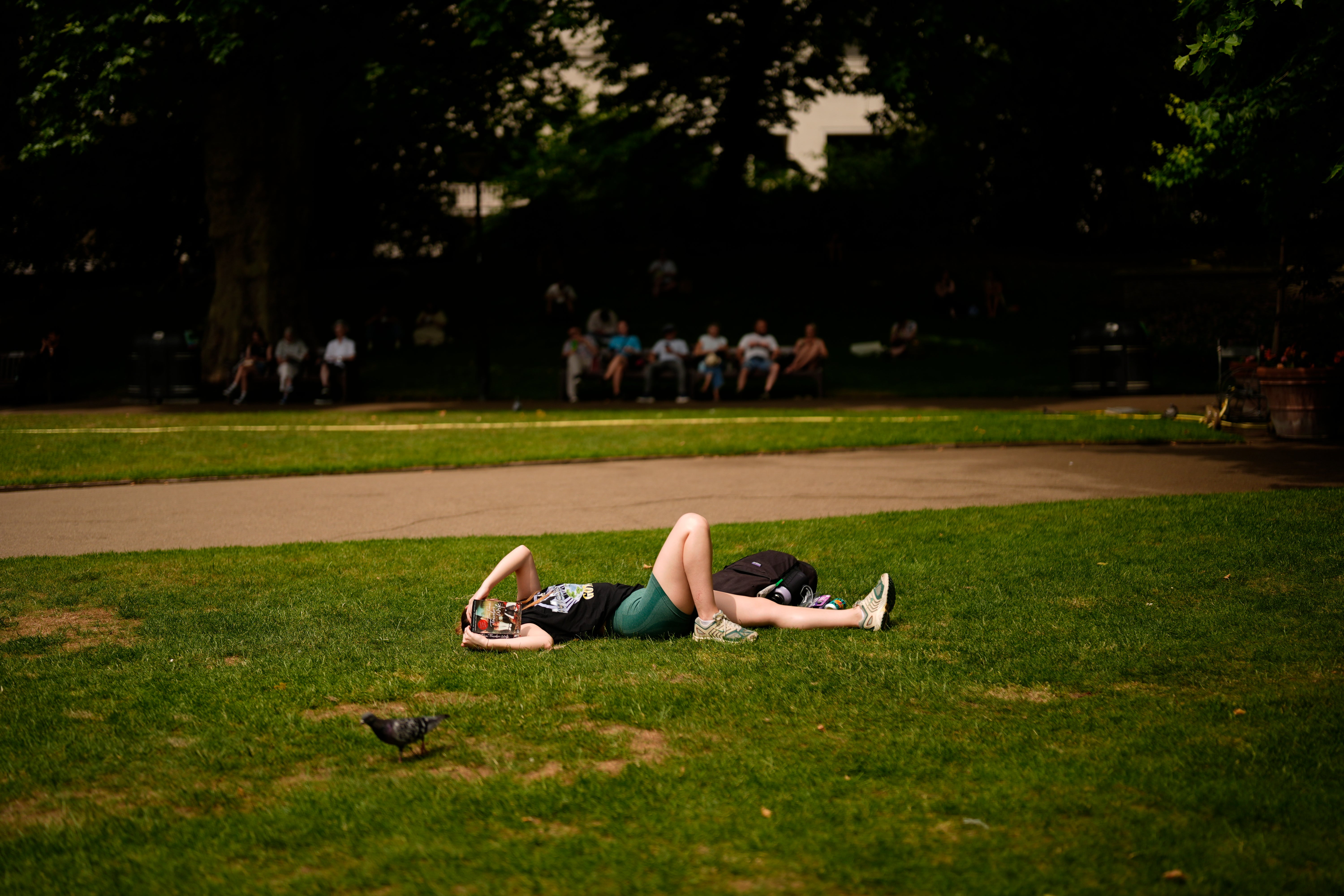
It comes after the country was hit by a heatwave over the weekend with a provisional high of 33.2C recorded, making it the warmest day of 2025 so far.
“There’s a fresher feel, quite breezy as well so most places, high teens, low 20s for temperatures, and it stays quite showery tonight,” Met Office meteorologist Marco Petagna said.
“It does become very warm again in the South East around the middle of the week, so we could see high 20s again around Tuesday, Wednesday in the South East.
“But at the same time as that heat builds again briefly in the south and South East, we could see further thundery downpours for a time as well.”
The cooler temperatures come after thunderstorms swept across parts of the country overnight, including north England and south-east Scotland.
Berwick-upon-Tweed in Northumberland saw 31.1mm of rainfall overnight and was among the locations that saw the wettest weather.
On Monday, the South East will see the most sunshine and highs of up to 25C, Mr Petagna added.
For the other regions, temperatures will be around the high teens and low 20s which is “near-average” for the time of year, he said.
Over the weekend, an amber heat-health warning from the UK Health Security Agency (UKHSA) was issued, covering all regions of England.
The mercury hit a record-high of 33.2C in Charlwood, Surrey. On Friday, a temperature of 30.8C was reached, triggering an official heatwave across England and Wales after three consecutive days of hot weather.
An official heatwave is recorded when areas reach a certain temperature for three consecutive days, with thresholds varying from 25C to 28C in different parts of the UK.
Five-day weather forecast
Sunday
Fresher for most, with breezy westerly winds bringing sunshine and scattered showers, with a few thunderstorms in the North West. Drier and brighter in the southeast but staying warm and humid here.
Heavy showers continuing through the night, with generally cloudier skies in the south. Cooler overnight in the North and West, but remaining mild in the far South East. Breezy for all.
Monday
Breezy westerly winds continue to bring a mix of sunshine and showers, most frequent in the North and West. Drier in the South East and feeling warm in the sunshine.
Tuesday to Thursday
Changeable through the rest of the week. Cloudier on Tuesday with patchy drizzle at times and a humid feel. Heavy showers or longer spells of rain on Wednesday and Thursday.

