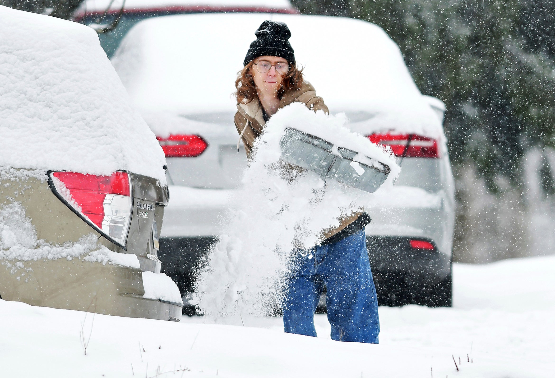
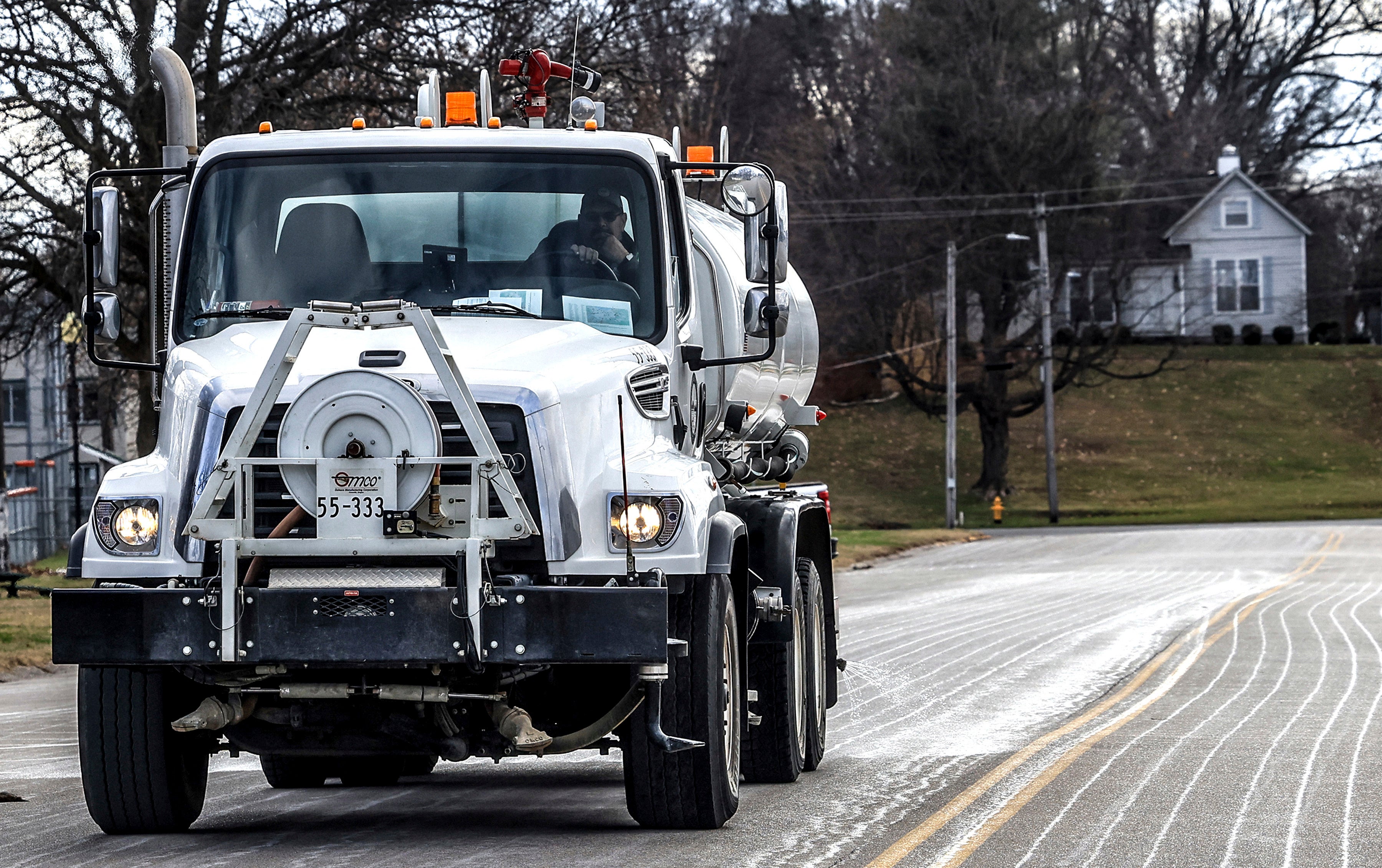
Around 60 million people are facing harsh winter conditions as snow, ice and strong winds are expected to slam the middle of the country throughout the weekend and the start of the week.
A low-pressure storm is expected to move across the country from the Central Plains to the Northeast with “widespread heavy snow and damaging ice accumulations,” according to the National Weather Service.
An estimated 57 million people across 30 states will be under winter weather alerts through Monday as the storm rages across the country, according to NBC News. Cities such as St. Louis, Washington, D.C., and New York City could feel the impacts of the storm.
“Winter returned,” declared Bob Oravec, lead forecaster at the National Weather Service in College Park, Maryland.
The storm will start in the Midwest late Saturday, travel to the Ohio Valley, “where severe travel disruptions are expected” on Sunday, before it will move into the Mid-Atlantic Sunday night into Monday, the agency forecasted.

Significant snowfall — ranging from 6 to 12 inches — is expected in regions north of Interstate 70, including St. Louis. Northeastern Kansas and north-central Missouri could see more than 15 inches — the heaviest snowfall in the region in a decade, according to the agency.
The Central Plains could experience blizzard conditions, with heavy wind gusts exceeding 35 mph and heavy snowfall by Sunday morning.
Experts warned against traveling in the harsh weather.
“Whiteout conditions will make driving dangerous to impossible, and raise the risk of becoming stranded,” the National Weather Service warned.

Freezing rain and “hazardous sleet” are expected to slam parts of Kansas, the Ozarks and the Ohio Valley. Some areas could be hit with over a quarter of an inch of ice, leading to risk of power outages.
“Some places will have snow and ice then switch back to snow. That’s a bad combination. Heavy snow and ice accretion can bring down tree limbs and power lines,” AccuWeather Senior Director of Forecasting Operations Dan DePodwin said.
The storm is expected to head east as the work week starts. Areas near Washington, D.C., and Baltimore are set to see snow from Sunday night into Monday. Many areas near the Capital are expected to see up to eight inches of snow, and it could total up to a foot in higher elevations.
Parts of Philadelphia could see up to six inches of snow, while New York City could see a coating to two inches on Monday, forecasters said.
Even after the storm passes, it’s going to be cold for a while, AccuWeather predicted. Temperatures in the central and eastern U.S. are expected to stay below freezing — between 12 and 25 degrees — through January 12.
With additional reporting from the Associated Press.


