Fall is officially here and, just a day into the season, severe weather events — from triple-digit heat to inches of snowfall — are prompting alerts and warnings across the country.
In addition to hurricane season, which typically runs from June through the end of November, parts of the U.S. are being assailed by thunderstorms while others are bracing for high winds or sweltering heat.
Here’s a look at some of the severe weather around the country:
California heat
Bay-area and inland parts of northern California are under an extreme heat advisory beginning on Tuesday, according to ABC7 News. The advisory will begin at 11 am local time and the temperature is expected to hit triple digits in inland California and 90 degrees around the Bay shoreline.
Those with heat sensitivities are being advised to take precautions. The heat is expected to die down by Wednesday, when temperatures are forecast to drop to 84 degrees inland and to around 78 degrees at the Bay.

Colorado snow
Denver is under a winter weather advisory from the National Weather Service ahead of expected heavy snow in the nearby Rocky Mountains, CBS News reports. Torrential rain is expected in the city, and snow accumulation of between 3 to 8 inches is expected in the northern Front Range mountains.
That area includes most of Rocky Mountain National Park. Trail Ridge Road, which runs through the mountains in the center of the park, closed Monday evening as a precaution.
Denver and the surrounding metro area will see between 1 to 2.5 inches of rain, with the heaviest rain forecast for Tuesday morning.
The storm is fast moving, however, and by Wednesday it will clear the Rockies, with warmer weather expected to carry on into the weekend.

Florida storms
Scattered thunderstorms will hit parts of south Florida on Tuesday, according to CBS News. The storms are expected to form on Tuesday afternoon and may cause localized flooding in some parts of the state.
The inclement weather is forecast to hang around until Wednesday, and the storms may cause a moderate risk of rip currents along Atlantic coast beaches.
Hurricanes
Hurricane season begins in June, but August, September and October tend to be the busiest months for the monster storms.
As of Tuesday, Tropical Storm Narda in the Pacific Ocean has strengthened into a hurricane. It is currently off the western coast of Mexico.
According to the National Hurricane Center, Hurricane Narda has maximum sustained winds of 85 mph (137kph), and it is currently about 295 miles (475km) southwest of Manzanillo, Mexico, in the nation’s state of Colima. Forecasters believe the storm will continue to gain strength throughout Tuesday, but won’t change much between Wednesday and Thursday.

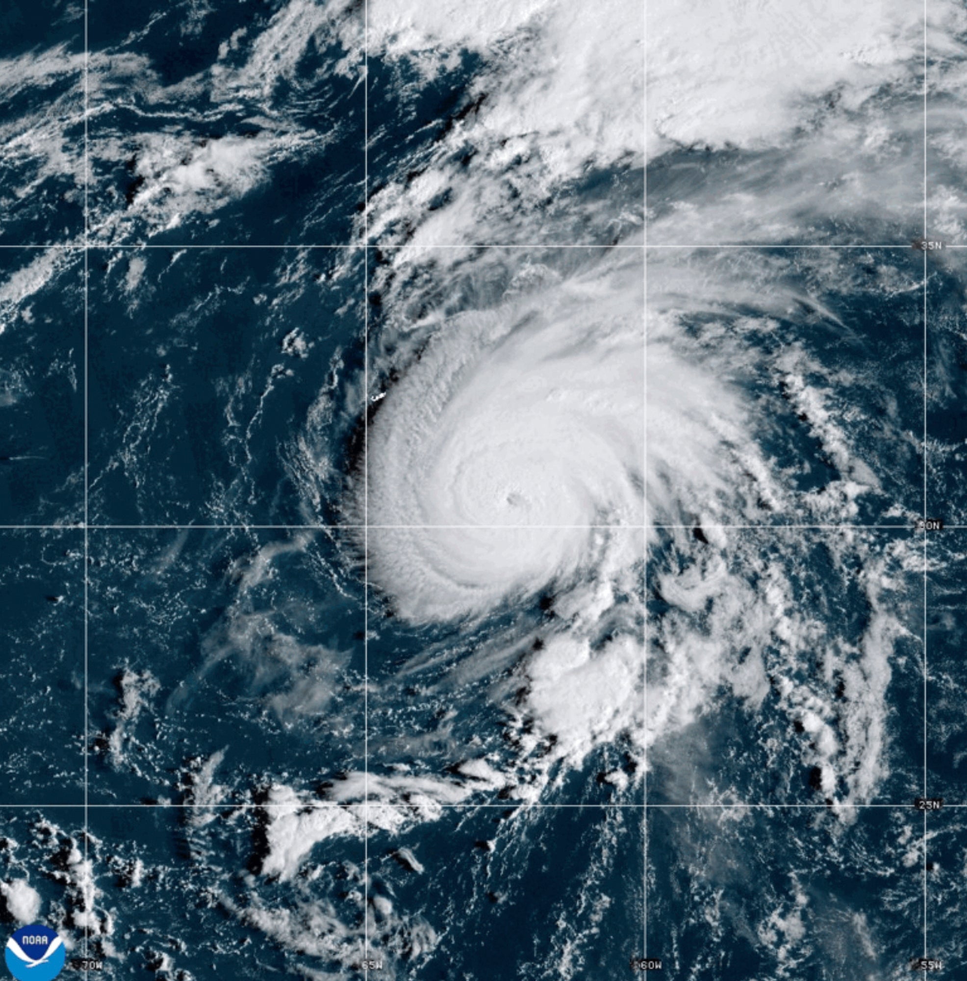
East of Bermuda, Hurricane Gabrielle has intensified into a Category 4 storm, and two more potential tropical systems could shape into hurricanes later this week.
Gabrille is the season’s second major hurricane and currently has winds of approximately 140 mph. The storm is not expected to hit Bermuda, but the island is likely to experience high winds and rain.
Severe storms in the central and southern U.S.
Parts of Arkansas, Oklahoma, and North Texas may experience severe thunderstorms that could bring large hail, potentially damaging winds, and possible tornadoes beginning on Tuesday afternoon, according to Fox Weather.
The storms are part of a weather system that moved through Kansas and Oklahoma overnight Monday and into Tuesday morning.
More than 5.3 million people across nine states are under flood watches, including parts of Kansas, Oklahoma, Missouri, and Arkansas, according to USA TODAY.


