


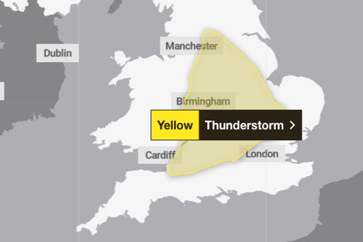
A yellow weather warning is in place across parts of England this evening as thunderstorms are expected to follow a record-breaking heatwave.
Forecasters declared a heatwave in multiple parts of the country on Tuesday, with amber heat health alerts issued in large swathes of England.
But the hot weather is expected to break on Tuesday evening, with the Met Office warning “isolated intense thunderstorms” could bring disruption to some places.
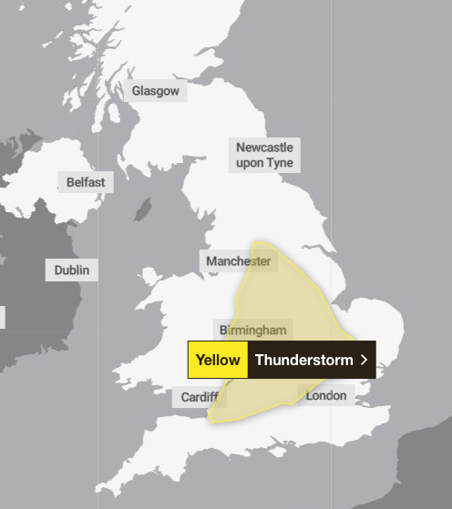
The Met Office has issued a yellow weather warning for thunderstorms covering parts of the south west, the midlands, the north west of England, and Yorkshire and the Humber. The warning came into force at 3pm and is in place until 10pm on Tuesday.
Forecasters said there is a chance of delays and some cancellations to train and bus services in areas where storms occur.
Temperatures reached 35C at Kew Gardens in London, breaking the highest minimum temperature in May for a third consecutive day. The figure also provisionally marks a new all-time hottest meteorological spring temperature, beating the record set on Monday.
The health warnings mean there is likely to be a “significant” impact on health and social services, and a rise in deaths, with alerts in place until 5pm on 27 May.
Met Office chief operational meteorologist, Dan Suri, said: “Further heat is in the forecast for much of England and Wales, with similar temperatures forecast for Tuesday.
“High pressure is forecast to gradually lose its influence later in the week, though maximum temperatures will still remain high and in the low 30Cs for some mid-week and high 20Cs late this week.”
A heatwave has been declared in eight locations in southeast England, which have now met the threshold of 27C for three consecutive days of hot weather.
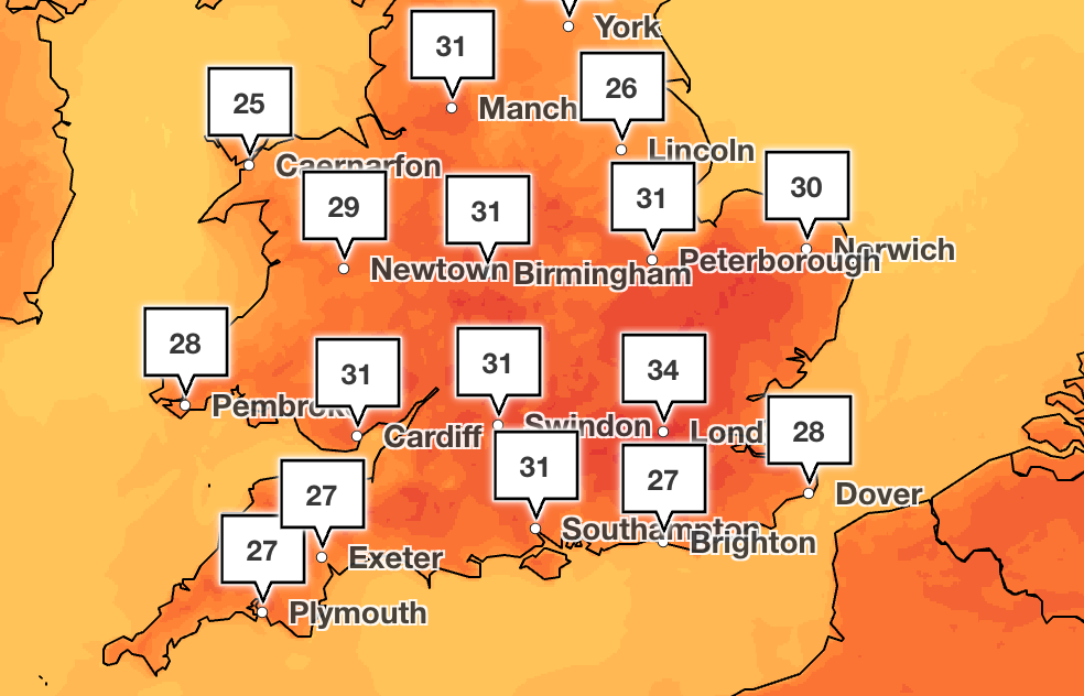
The Met Office listed 12 locations where the record was topped on Monday – ranging from Suffolk to Berkshire to Warwickshire – while 97 of its monitoring sites reached or surpassed 30C.
The UK’s previous warmest May night was measured on Sunday when temperatures did not fall below 19.4C at Kenley Airfield.
Meanwhile, the hottest May temperature could be broken again on Tuesday with an expected high of 35C across large swathes of southern England and Wales – which could even creep up to 36C, the Met Office said.
Those forecasts span the Midlands, the south-east and south-west of England, East Anglia and South Wales.
Thunderstorms could be sparked in the afternoon, which would affect how hot it gets, the Met Office added.
Here’s what the weather authority has forecast over the coming days:
Tuesday
Another very hot day across much of England and Wales with strong sunshine. Fresher across northern areas with sunny spells. A yellow weather warning is in place for thunderstorms until 10pm across much of England.
Wednesday
Dry on Wednesday with sunny spells for many. Cloudier in the northeast but some bright spells slowly developing. Very warm in the southwest, but feeling fresher elsewhere.
Thursday to Saturday
Staying hot across parts of the south through the next few days. A risk of a few thundery showers at times, but largely dry for many.