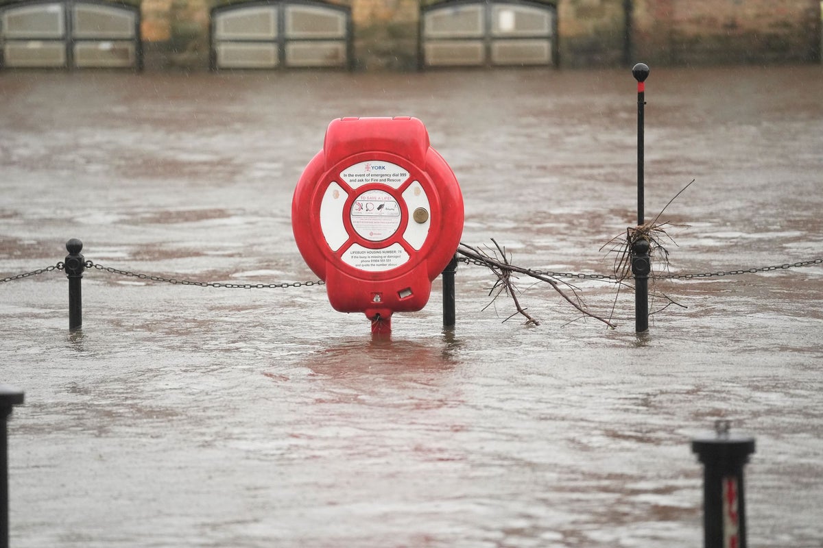
Hundreds of schools across the UK remain closed today as Storm Chandra continues to bring dangerous icy conditions and nearly 100 flood warnings.
Over 350 schools are now confirmed to be closed in Northern Ireland, while dozens remain shut across the South West.
Northern Ireland is experiencing severe weather, with yesterday’s amber warning being replaced with an ice warning that covers all regions.
Much of the rest of mainland UK is also covered by a yellow warning for ice, apart from only the South West, western Wales and northern Scotland.
You can check the status of your child’s school here (England and Wales):
However, nearly 100 flood warnings remain in place on Wednesday, with the most severe being concentrated in areas in the South West.
A major incident has been declared in Somerset as a result of the heavy rainfall, with the council confirming that there had been “extensive flooding overnight” with continued risk of flooding on Somerset Moors.
A severe flood warning was issued for the River Otter in Devon yesterday, which reached its “highest recorded ever level” according to the local MP. Firefighters in Devon and Cornwall rescued 25 people from vehicles trapped in floodwater on Tuesday.
The severe weather has caused travel disruption across the UK, with several roads and rail lines closed. Many airports are also experiencing long delays.
National Rail have also warned that disruption is expected until Friday with trains cancelled across Devon, including to Exeter St Davids, while speed restrictions are also in place across Scotland.
Met Office Chief Forecaster, Paul Gundersen, said: “Storm Chandra will bring a range of hazards … Initially strong winds will impact the Isles of Scilly, western Cornwall and southwest Wales which are still vulnerable after Storm Goretti, gusts of 70 to 80mph are possible here. Heavy rain is an additional hazard as it falls on saturated ground in Dorset and southern parts of Devon, Somerset and Cornwall.
“As Chandra interacts with colder air further north snow becomes a hazard, with 10-20cm of snow possibly accumulating over higher ground in the Pennines, southern Scotland and the Highlands. With a complex spell of weather, its important people stay up to date with the forecast and any warnings in your area.”
Here’s the Met Office’s five day forecast for the UK:
Today:
Fog and ice will clear leaving most places dry with sunny spells. However, the north and east of Scotland will have patchy rain and mountain snow, and Northern Ireland, southwest Wales and southwest England will be breezy with some showers.
Tonight:
Low cloud and fog forming across many eastern and central areas overnight, with patchy rain. Hill snow northeast Scotland. Breezy, with showers in the southwest. Frost under clearer spells elsewhere.
Thursday:
Rather cloudy and breezy with some rain and hill snow lingering in the northeast, whilst showers give way to more persistent rain towards the southwest. Some brighter breaks developing elsewhere.
Outlook for Friday to Sunday:
Friday looks unsettled with brisk winds. Rather cloudy skies giving outbreaks of rain for many. Brighter and becoming less breezy for most over the weekend, albeit with scattered showers still.


