News, Cheshire
 CheshireArchives
A collection of quirky and long-forgotten place names from across Cheshire has been uncovered by archivists poring through old maps.
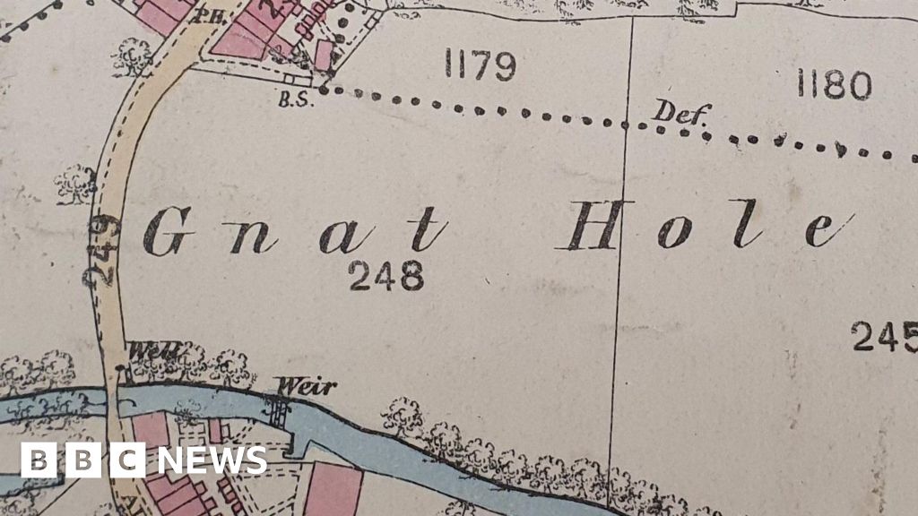
Bogginshill, Snape Farm, Gnat Hole and Blackdog are just some of the more peculiar names found by the Cheshire Archives team.
The names are included in a series of Ordnance Survey (OS) maps – dating back to 1871 – that have been catalogued before the county’s public records are relocated to two new sites in Chester and Crewe next year.
Cheshire East councillor Michael Gorman said the maps were “endlessly fascinating”, adding “You can’t help but wonder who lived in Bogginshill!”
 CheshireArchives
About 5,000 OS maps are kept in the archives, which are currently managed by a team of archivists and volunteers in Chester.
The public records service is shared by Cheshire East, Cheshire West and Chester, Halton and Warrington councils.
Cheshire West and Chester Council leader Louise Gittins said looking at old maps “takes us back to a landscape over 100 years ago”.
She added: “Maps are just one of the many priceless archives that hold the history of Cheshire and next year they will be more accessible in the two new Cheshire Archives centres.”
 CheshireArchives
The maps have been digitised and will form part of a new online archive set to be launched in the spring of 2026.
Cheshire East councillor Jill Rhodes said: “Our archives team is undertaking an enormous amount of work behind the scenes to prepare for the move to our fabulous new centres next year.
“I’m sure many appetites are already whetted!”


